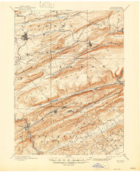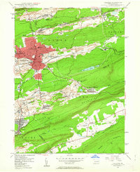
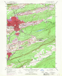
1947 Map of Hazleton
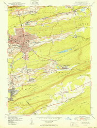
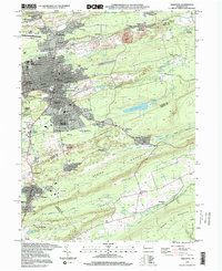
USGS Topo · Published 1962About this map
Industrial activity in the Anthracite Coal Region is starkly visible in this mid-century survey, where the landscape is defined by the proximity of residential wards and heavy rail infrastructure. The primary urban core of Hazleton and West Hazleton gives way to numerous outlying mining settlements and patches, including Lattimer Mines, Ebervale, and Junedale. The transportation network of the Lehigh Valley and Central Railroad of Pennsylvania serves the region's collieries and yards, most notably at the expansive Ashmore Yards. Beyond the industry, the terrain rises into the surrounding ridges of Banks Mountain and Spring Mountain. Social and civic life of the era is evidenced by features such as the Hazleton State Hospital, St Josephs Hospital, and the locally significant Dreck Creek Reservoir. Local genealogists will find value in the detailed locations of neighborhood cemeteries like Mt Laurel Cem and schools such as the central High School.
Find a feature on this map
62 named features on this map. Tap any name to fly to it.
Don’t see what you’re looking for? This feature index may not catch every label — zoom into the map to look around manually.
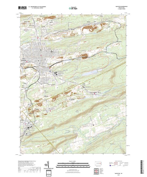
Map Details
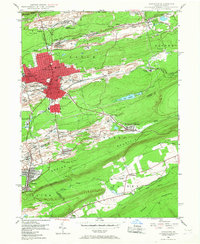
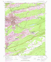
Editions of this 1947 Hazleton Map
5 editions found
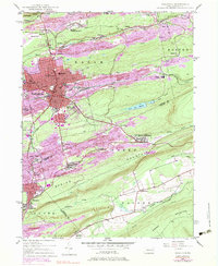
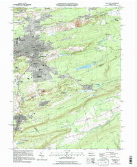
Historical Maps of Hazleton Through Time
9 maps found