
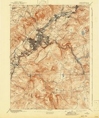
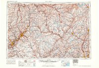
1943 Map of Scranton
USGS Topo · Published 1943About this map
The industrial heart of Northeastern Pennsylvania’s coal region is defined by the dense network of rail lines and settlements following the Lackawanna River and Susquehanna River. During the early 1940s, the urban sprawl of Scranton and Dunmore transitions into a landscape dominated by the Moosic Mts and Wyoming Mt. This era’s transport infrastructure is remarkably complex, featuring the DL & W, Erie, and Lehigh Valley railroads that supported the region’s massive anthracite mining economy. To the east and south, the map reveals a shift toward conservation and military use, notably within the Tobyhanna Military Reservation and the Big Pine Hill State Game Preserve. Rural life is preserved through labels for the Fayette School and Meckesville School, alongside early aviation hubs like the Scranton Airport and the Daleville Airport.
Find a feature on this map
224 named features on this map. Tap any name to fly to it.
Don’t see what you’re looking for? This feature index may not catch every label — zoom into the map to look around manually.
Map Details
Editions of this 1943 Scranton Map
This is the sole edition of this map. No revisions or reprints were ever made.
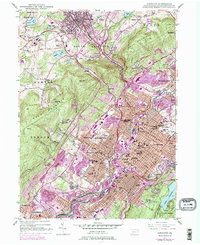
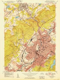
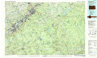
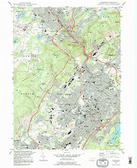
Historical Maps of Scranton Through Time
14 maps found

1889 Scranton
Lackawanna County, PA

1891 Scranton
Lackawanna County, PA
1893 Scranton
Lackawanna County, PA
1943 Scranton
Lackawanna County, PA
1947 Scranton
Lackawanna County, PA
1950 Scranton
Lackawanna County, PA

1950 Scranton
Lackawanna County, PA

1953 Scranton
Lackawanna County, PA

1959 Scranton
Lackawanna County, PA
1962 Scranton
Lackawanna County, PA
1965 Scranton
Lackawanna County, PA
1986 Scranton
Lackawanna County, PA
1994 Scranton
Lackawanna County, PA
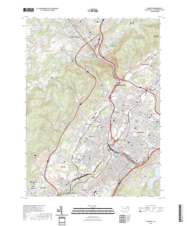
2023 Scranton
Lackawanna County, PA