
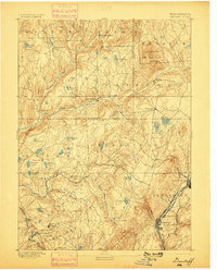
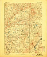
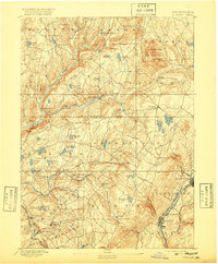
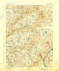
1892 Map of Dundaff
USGS Topo · Published 1892About this map
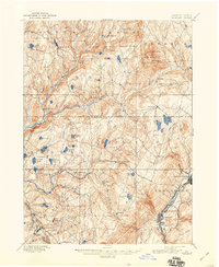
Elk Hill and the towering peaks of North Knob and South Knob dominate the northern terrain of this late nineteenth-century survey. The landscape is a complex network of glacial ponds and watercourses, including Crystal Lake, Newton Lake, and the winding Tunkhannock Creek. In the southeast, the industrial character of the region is evident where the Lackawanna River corridor supports the growing communities of Carbondale and Jermyn. This area is heavily influenced by the presence of the Delaware and Hudson Canal Co. RR and the Delaware Lackawanna and Western RR, which facilitated the movement of coal and goods. Rural life is anchored by established settlements like Dundaff, Fleetville, and Lenoxville, while family-named features such as Bassett Pond and Sickler Pond reflect the local genealogy of Susquehanna and Lackawanna counties before modern expansion.
Find a feature on this map
68 named features on this map. Tap any name to fly to it.
Don’t see what you’re looking for? This feature index may not catch every label — zoom into the map to look around manually.
Map Details
Editions of this 1892 Dundaff Map
6 editions found
Other maps of this area

1889 · Scranton
USGS Topo · 1:62,500

1891 · Scranton
USGS Topo · 1:62,500

1892 · Honesdale
USGS Topo · 1:62,500

1893 · Pittston
USGS Topo · 1:62,500

1893 · Scranton
USGS Topo · 1:62,500

1926 · Starrucca
USGS Topo · 1:62,500

1928 · Ariel
USGS Topo · 1:62,500

1930 · Starrucca
USGS Topo · 1:48,000

1932 · Ariel
USGS Topo · 1:62,500

1932 · Susquehanna
USGS Topo · 1:62,500