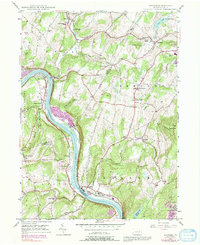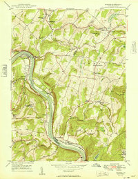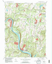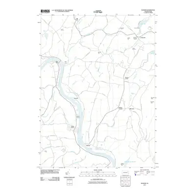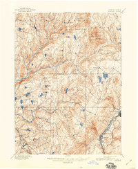
1892 Map of Dundaff
USGS Topo · Published 1944About this map
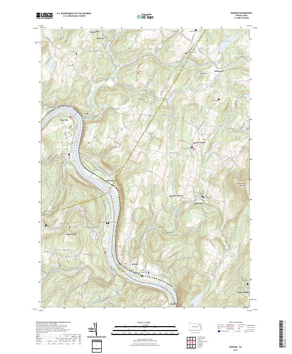
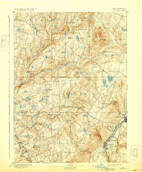
The Delaware & Hudson Canal Co RR anchors the eastern edge of this landscape, tracing the valley through Carbondale, Jermyn, and Mayfield. Surveyed in 1890, the map illustrates a region defined by the transition from the industrial Lackawanna Valley to the glaciated uplands of the East Mts. Numerous glacial ponds and lakes dot the terrain, including Crystal Lake and Newton Lake, which sit at the base of prominent heights like Elk Hill and North Knob. The intricate drainage of Tunkhannock Creek and its many branches, such as South Branch Tunkhannock Creek, reveals a complex network of narrow valleys and ridges. Small agricultural and commuter settlements like Dundaff, Fleetville, and Waverly are depicted with their late-19th-century footprints, connected by a web of rural roads that navigate the varying elevations.
Find a feature on this map
72 named features on this map. Tap any name to fly to it.
Don’t see what you’re looking for? This feature index may not catch every label — zoom into the map to look around manually.
Map Details
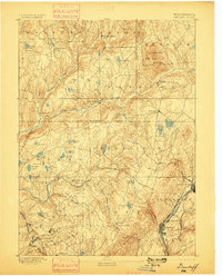
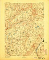
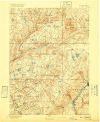
Editions of this 1892 Dundaff Map
6 editions found

Historical Maps of Carbondale Through Time
9 maps found