
1893 Map of Scranton
USGS Topo · Published 1893About this map
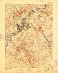
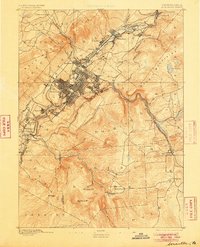
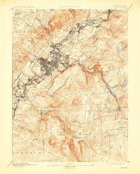
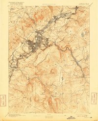
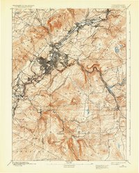
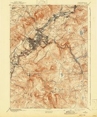
Scranton serves as the industrial core of this late-nineteenth-century survey, surrounded by a dense network of coal-patch towns and boroughs such as Olyphant, Dunmore, and Hyde Park. The landscape is defined by the narrow Lackawanna River valley, which acts as a conduit for an incredible concentration of rail infrastructure. Major lines including the Delaware Lackawanna and Western Railroad and the Delaware and Hudson Canal Co. R. R. hug the valley floor, serving the anthracite region's booming extraction economy. Beyond the industrial valley, the terrain rises sharply into the Moosic Mountains and toward Bald Mountain. To the southeast, the map shows more dispersed settlements like Moscow and Daleville along Roaring Brook, illustrating the transition from the high-density urban corridor to the more rural uplands of Lackawanna County.
Find a feature on this map
66 named features on this map. Tap any name to fly to it.
Don’t see what you’re looking for? This feature index may not catch every label — zoom into the map to look around manually.
Map Details
Editions of this 1893 Scranton Map
7 editions found
Other maps of this area

1889 · Scranton
USGS Topo · 1:62,500

1891 · Wilkesbarre
USGS Topo · 1:62,500

1891 · Scranton
USGS Topo · 1:62,500

1892 · Honesdale
USGS Topo · 1:62,500

1892 · Dundaff
USGS Topo · 1:62,500

1893 · Pittston
USGS Topo · 1:62,500

1894 · Wilkesbarre
USGS Topo · 1:62,500

1919 · Pocono
USGS Topo · 1:62,500

1921 · Pocono
USGS Topo · 1:62,500

1922 · Stoddartsville
USGS Topo · 1:62,500