
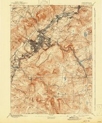
1889 Map of Scranton
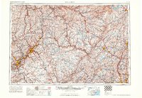
USGS Topo · Published 1954About this map
The Wyoming Valley and the narrow corridor of the Lackawanna River anchor this late 19th-century survey, capturing the dense industrial and urban development of the Anthracite Coal Region. The city of Scranton dominates the landscape, showing the early gridiron expansion into Hyde Park and Providence, while a string of coal towns including Dickson City, Olyphant, and Archbald trace the valley northeastward. These settlements are inextricably linked by a complex web of railroads, including the Delaware Lackawanna and Western RR and the D & H RR, which facilitated the massive movement of coal and passengers.
Find a feature on this map
58 named features on this map. Tap any name to fly to it.
Don’t see what you’re looking for? This feature index may not catch every label — zoom into the map to look around manually.
Map Details
Editions of this 1889 Scranton Map
This is the sole edition of this map. No revisions or reprints were ever made.
Historical Maps of Scranton Through Time
14 maps found
1889 Scranton
Lackawanna County, PA

1891 Scranton
Lackawanna County, PA
1893 Scranton
Lackawanna County, PA

1943 Scranton
Lackawanna County, PA
1947 Scranton
Lackawanna County, PA
1950 Scranton
Lackawanna County, PA

1950 Scranton
Lackawanna County, PA

1953 Scranton
Lackawanna County, PA

1959 Scranton
Lackawanna County, PA
1962 Scranton
Lackawanna County, PA
1965 Scranton
Lackawanna County, PA
1986 Scranton
Lackawanna County, PA
1994 Scranton
Lackawanna County, PA
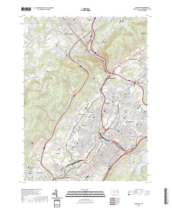
2023 Scranton
Lackawanna County, PA