
1893 Map of Pittston
USGS Topo · Published 1893About this map
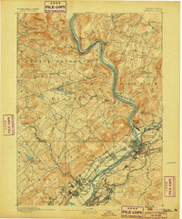
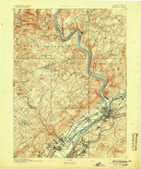
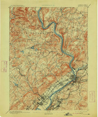
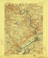
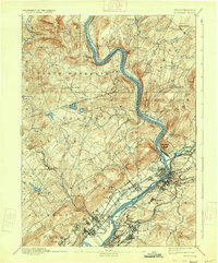
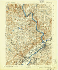
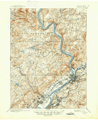
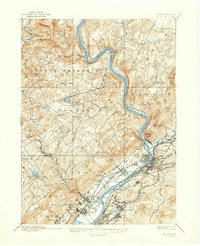
The North Branch Susquehanna River carves a deep valley through the heart of Luzerne and Wyoming counties, anchoring a landscape defined by the convergence of heavy industry and river-town settlement. This 1890s survey documents the intricate rail infrastructure that fueled the Wyoming Valley's growth, including the Lehigh Valley Railroad North Branch and the Lackawanna and Bloomsburg Division. Along the riverbanks, concentrated urban development in Pittston, West Pittston, and Wyoming contrasts with the high, wooded terrain of Campbell Ledge and Miller Mt.
Find a feature on this map
84 named features on this map. Tap any name to fly to it.
Don’t see what you’re looking for? This feature index may not catch every label — zoom into the map to look around manually.
Map Details
Editions of this 1893 Pittston Map
9 editions found
Other maps of this area

1889 · Scranton
USGS Topo · 1:62,500

1891 · Wilkesbarre
USGS Topo · 1:62,500

1891 · Scranton
USGS Topo · 1:62,500

1891 · Harveys Lake
USGS Topo · 1:62,500

1892 · Dundaff
USGS Topo · 1:62,500

1893 · Harvey Lake
USGS Topo · 1:62,500

1893 · Scranton
USGS Topo · 1:62,500

1894 · Shickshinny
USGS Topo · 1:62,500

1894 · Wilkesbarre
USGS Topo · 1:62,500

1922 · Stoddartsville
USGS Topo · 1:62,500