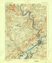
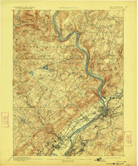
1893 Map of Pittston
USGS Topo · Published 1933About this map
The Susquehanna River carves a deep valley through this Pennsylvania landscape, serving as the industrial and transportation corridor for the Wyoming Valley. In the late nineteenth century, the river is paralleled by an intensive network of competing rail lines, including the Lehigh Valley Railroad, the Delaware Lackawanna and Western Railroad, and the Bloomsburg Division Central Railroad of New Jersey. These tracks connect a dense series of coal-country settlements from Pittston and West Pittston down through Forty Fort and Kingston.
Find a feature on this map
80 named features on this map. Tap any name to fly to it.
Don’t see what you’re looking for? This feature index may not catch every label — zoom into the map to look around manually.
Map Details
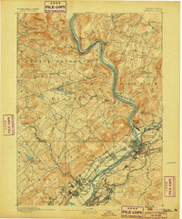
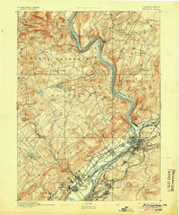
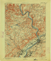
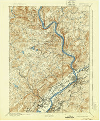
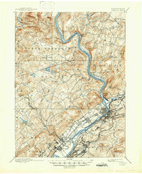
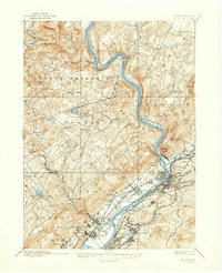
Editions of this 1893 Pittston Map
9 editions found
Other maps of this area

1889 · Scranton
USGS Topo · 1:62,500

1891 · Wilkesbarre
USGS Topo · 1:62,500

1891 · Scranton
USGS Topo · 1:62,500

1891 · Harveys Lake
USGS Topo · 1:62,500

1892 · Dundaff
USGS Topo · 1:62,500

1893 · Harvey Lake
USGS Topo · 1:62,500

1893 · Pittston
USGS Topo · 1:62,500

1893 · Scranton
USGS Topo · 1:62,500

1894 · Shickshinny
USGS Topo · 1:62,500

1894 · Wilkesbarre
USGS Topo · 1:62,500