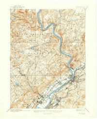
1893 Map of Pittston
USGS Topo · Published 1947About this map
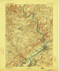
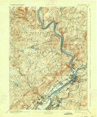
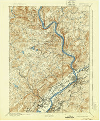
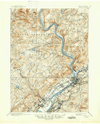
The Susquehanna River carves a dominant path through this 1890s survey, dictating the growth of the coal-rich Wyoming Valley. The industrial concentration is most evident at the confluence with the Lackawanna River, where Pittston, West Pittston, and Duryea form a dense network of residential and commercial settlements. This map illustrates a landscape defined by competing rail lines, including the Lehigh Valley Railroad and the Delaware Lackawanna and Western Railroad, which follow the riverbanks and mountain gaps to transport anthracite from the region. Away from the industrial corridor, the terrain rises sharply toward Campbell Ledge and Miller Mt, where the character of the land shifts to more dispersed rural communities such as Center Moreland and Newton Center. Detailed topography by Robt D. Cummin shows the intricate drainage of Toby Creek and Abraham Creek, revealing the complex relationship between the valley floor settlements like Forty Fort and the surrounding highlands.
Find a feature on this map
91 named features on this map. Tap any name to fly to it.
Don’t see what you’re looking for? This feature index may not catch every label — zoom into the map to look around manually.
Map Details
Editions of this 1893 Pittston Map
9 editions found
Other maps of this area

1889 · Scranton
USGS Topo · 1:62,500

1891 · Wilkesbarre
USGS Topo · 1:62,500

1891 · Scranton
USGS Topo · 1:62,500

1891 · Harveys Lake
USGS Topo · 1:62,500

1892 · Dundaff
USGS Topo · 1:62,500

1893 · Harvey Lake
USGS Topo · 1:62,500

1893 · Pittston
USGS Topo · 1:62,500

1893 · Scranton
USGS Topo · 1:62,500

1894 · Shickshinny
USGS Topo · 1:62,500

1894 · Wilkesbarre
USGS Topo · 1:62,500