
1891 Map of Harveys Lake
USGS Topo · Published 1962About this map
Dutch Mountain and North Mountain dominate this late 19th-century survey of Northeastern Pennsylvania, where the landscape is defined by the steep drainage basins of Bowman Creek. At the center of the region’s development is the Lehigh Valley R.R., particularly its Bowman Creek Br. which connects the industrial timber and tanning operations of Noxen and Stull to broader markets.
Find a feature on this map
88 named features on this map. Tap any name to fly to it.
Don’t see what you’re looking for? This feature index may not catch every label — zoom into the map to look around manually.
Map Details
Editions of this 1891 Harveys Lake Map
This is the sole edition of this map. No revisions or reprints were ever made.
Historical Maps of Dallas Township Through Time
9 maps found
1891 Harveys Lake
Luzerne County, PA
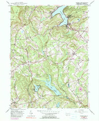
1946 Harveys Lake
Luzerne County, PA
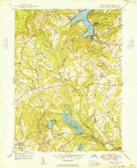
1949 Harveys Lake
Luzerne County, PA
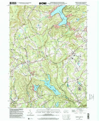
1999 Harveys Lake
Luzerne County, PA
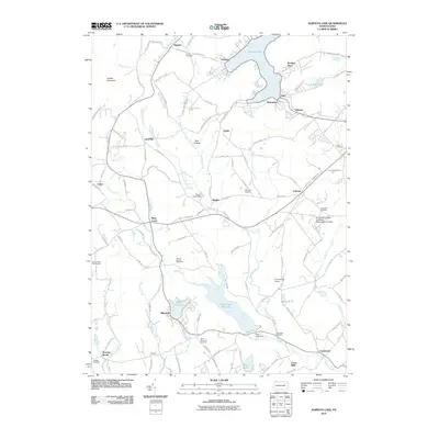
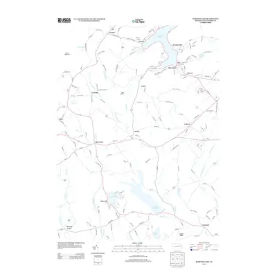
2010 Harveys Lake
Luzerne County, PA
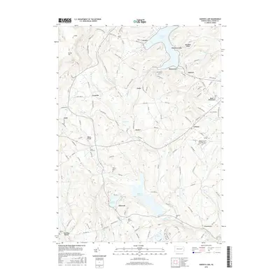
2013 Harveys Lake
Luzerne County, PA
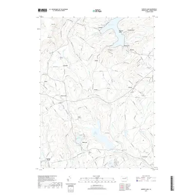
2016 Harveys Lake
Luzerne County, PA
2019 Harveys Lake
Luzerne County, PA
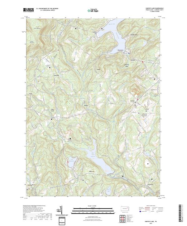
2023 Harveys Lake
Luzerne County, PA