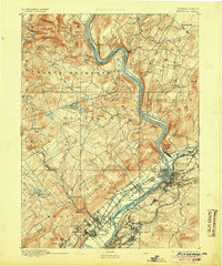
1893 Map of Pittston
USGS Topo · Published 1905About this map
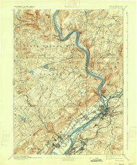
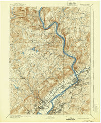
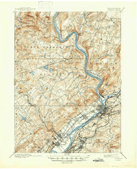
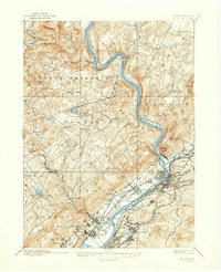
The Susquehanna River carves a dramatic path through the anthracite coal region of Northeastern Pennsylvania, anchoring a dense network of nineteenth-century industrial settlements. Surveyed in 1890, the map captures the transition of the Wyoming Valley into a major transportation hub, where the Lehman and Kingston townships meet the river's eastern bank. The landscape is defined by its complex rail infrastructure, including the Lehigh Valley Railroad and the Lackawanna and Bloomsburg Division Delaware Lackawanna and Western Railroad, which serviced the growing communities of Pittston, West Pittston, and Forty Fort. North of the valley's floor, the terrain rises toward Campbell Ledge and the rural highlands of North Moreland, providing a sharp contrast between the burgeoning urban-industrial corridor and the agricultural hinterlands of Eaton and Falls.
Find a feature on this map
90 named features on this map. Tap any name to fly to it.
Don’t see what you’re looking for? This feature index may not catch every label — zoom into the map to look around manually.
Map Details
Editions of this 1893 Pittston Map
9 editions found
Other maps of this area

1889 · Scranton
USGS Topo · 1:62,500

1891 · Wilkesbarre
USGS Topo · 1:62,500

1891 · Scranton
USGS Topo · 1:62,500

1891 · Harveys Lake
USGS Topo · 1:62,500

1892 · Dundaff
USGS Topo · 1:62,500

1893 · Harvey Lake
USGS Topo · 1:62,500

1893 · Pittston
USGS Topo · 1:62,500

1893 · Scranton
USGS Topo · 1:62,500

1894 · Shickshinny
USGS Topo · 1:62,500

1894 · Wilkesbarre
USGS Topo · 1:62,500