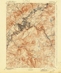
1893 Map of Scranton
USGS Topo · Published 1943About this map
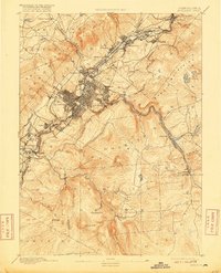
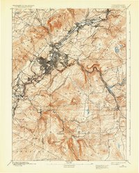
The Scranton coal region is revealed here in the late 19th century, defined by a dense industrial corridor following the Lackawanna River and a massive concentration of rail infrastructure. The urban grid of Scranton is surrounded by established boroughs like Hyde Park, Dunmore, and Providence, while to the northeast, a chain of mining towns including Dickson City, Olyphant, and Archbald traces the valley floor. This survey illustrates the intense competition for access to the anthracite fields, with the Delaware Lackawanna and Western RR, N. Y. O. & W. RR, and the Central RR of New Jersey all weaving through the narrow gap between the Moosic Mountains and the hills of Newton. To the south and east, the landscape transitions into the watershed of Roaring Brook and Spring Brook, where smaller settlements like Moscow and Daleville offer a contrast to the industrial valley.
Find a feature on this map
60 named features on this map. Tap any name to fly to it.
Don’t see what you’re looking for? This feature index may not catch every label — zoom into the map to look around manually.
Map Details
Editions of this 1893 Scranton Map
7 editions found
Other maps of this area

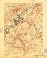
1889 · Scranton
USGS Topo · 1:62,500

1891 · Wilkesbarre
USGS Topo · 1:62,500

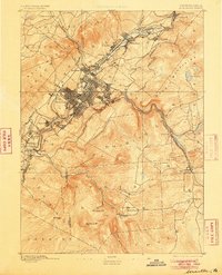
1891 · Scranton
USGS Topo · 1:62,500

1892 · Honesdale
USGS Topo · 1:62,500

1892 · Dundaff
USGS Topo · 1:62,500

1893 · Pittston
USGS Topo · 1:62,500

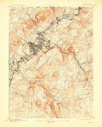
1893 · Scranton
USGS Topo · 1:62,500

1894 · Wilkesbarre
USGS Topo · 1:62,500

1919 · Pocono
USGS Topo · 1:62,500

1921 · Pocono
USGS Topo · 1:62,500