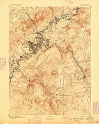
1893 Map of Scranton
USGS Topo · Published 1898About this map
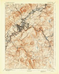
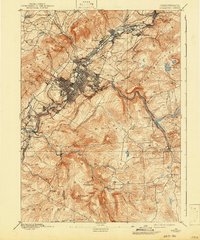
Scranton is the undeniable industrial anchor of this late 19th-century landscape, shown here at the height of its growth as a premier center of anthracite coal production and iron manufacturing. The dense grid of the city and its surrounding boroughs, including Dunmore and Hyde Park, is tied together by a complex web of rail infrastructure, most notably the Delaware Lackawanna and Western Railroad. This network follows the valley of the Lackawanna River, connecting string-town settlements like Olyphant, Dickson, and Priceburg. To the east, the Moosic Mountains provide a sharp topographical contrast, where the landscape transitions from industrial valley to timbered ridges and water resources like Moosic Lake and the Scranton Reservoir. The map reveals how the geography of the Lackawanna Valley dictated the expansion of the coal industry, with transport lines like the Carbondale R. R. clinging to the valley floor while residential areas climbed the surrounding hillsides.
Find a feature on this map
68 named features on this map. Tap any name to fly to it.
Don’t see what you’re looking for? This feature index may not catch every label — zoom into the map to look around manually.
Map Details
Editions of this 1893 Scranton Map
7 editions found
Other maps of this area

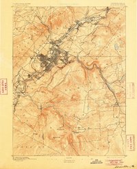
1889 · Scranton
USGS Topo · 1:62,500

1891 · Wilkesbarre
USGS Topo · 1:62,500

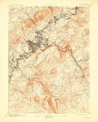
1891 · Scranton
USGS Topo · 1:62,500

1892 · Honesdale
USGS Topo · 1:62,500

1892 · Dundaff
USGS Topo · 1:62,500

1893 · Pittston
USGS Topo · 1:62,500

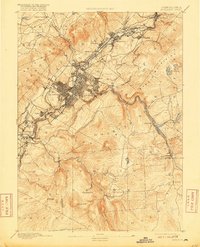
1893 · Scranton
USGS Topo · 1:62,500

1894 · Wilkesbarre
USGS Topo · 1:62,500

1919 · Pocono
USGS Topo · 1:62,500

1921 · Pocono
USGS Topo · 1:62,500