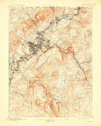
1893 Map of Scranton
USGS Topo · Published 1909About this map
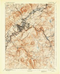
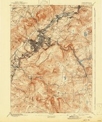
Scranton dominates the valley of the Lackawanna River in this late nineteenth-century survey, surrounded by established anthracite-era boroughs. The dense street grids of Hyde Park and Providence are already integrated into the urban core, while a series of industrial settlements including Olyphant, Dickson, and Priceburg string along the river to the northeast. This map captures the region at a moment of intense rail competition, with multiple trunk lines like the Delaware Lackawanna and Western Railroad and the Erie and Wyoming Valley Railroad threading through the narrow valley floor to service the coal trade.
Find a feature on this map
62 named features on this map. Tap any name to fly to it.
Don’t see what you’re looking for? This feature index may not catch every label — zoom into the map to look around manually.
Map Details
Editions of this 1893 Scranton Map
7 editions found
Other maps of this area

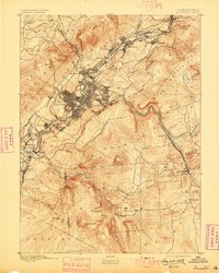
1889 · Scranton
USGS Topo · 1:62,500

1891 · Wilkesbarre
USGS Topo · 1:62,500

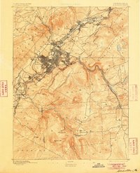
1891 · Scranton
USGS Topo · 1:62,500

1892 · Honesdale
USGS Topo · 1:62,500

1892 · Dundaff
USGS Topo · 1:62,500

1893 · Pittston
USGS Topo · 1:62,500

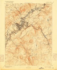
1893 · Scranton
USGS Topo · 1:62,500

1894 · Wilkesbarre
USGS Topo · 1:62,500

1919 · Pocono
USGS Topo · 1:62,500

1921 · Pocono
USGS Topo · 1:62,500