
1930 Map of Starrucca
USGS Topo · Published 1930About this map
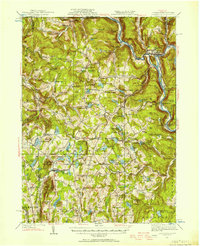
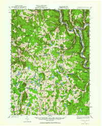
The northern reaches of Wayne County, Pennsylvania, are defined by a dense network of glacial lakes and three major rail lines at the start of the 1930s. The Delaware and Hudson RR and Erie RR trace the winding Delaware River at the New York state line, while the New York Ontario and Western RR cuts through the interior near Preston Park and Lakewood. This period shows a landscape transitioning from resource extraction to a burgeoning summer camp culture, evidenced by Camp Scodale, Camp Windsor, and Camp High Lake scattered among traditional agricultural landmarks like the South Preston Grange Hall. Many small crossroads such as Sherman, Orson, and Gardiners Corners anchor the rural community, each supported by local institutions like Fairmont Sch and Kingsbury Hill Ch.
Find a feature on this map
125 named features on this map. Tap any name to fly to it.
Don’t see what you’re looking for? This feature index may not catch every label — zoom into the map to look around manually.
Map Details
Editions of this 1930 Starrucca Map
3 editions found
Other maps of this area

1892 · Honesdale
USGS Topo · 1:62,500

1892 · Dundaff
USGS Topo · 1:62,500

1905 · Nineveh
USGS Topo · 1:62,500

1920 · Long Eddy
USGS Topo · 1:62,500

1920 · Damascus
USGS Topo · 1:62,500

1921 · Long Eddy
USGS Topo · 1:48,000

1923 · Damascus
USGS Topo · 1:62,500

1923 · Long Eddy
USGS Topo · 1:62,500

1923 · Walton
USGS Topo · 1:48,000

1924 · Starrucca
USGS Topo · 1:48,000