
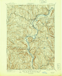
1905 Map of Nineveh
USGS Topo · Published 1905About this map
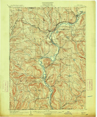
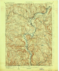
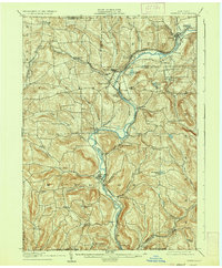
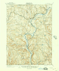
The Susquehanna River carves a winding path through the heart of Broome County, dictating the development of transport and settlement at the start of the 20th century. This survey reveals a landscape defined by the convergence of rail and water, where the Delaware and Hudson and Erie railroads service communities like Nineveh Junction and Harpursville Sta. The river valley acts as a conduit for trade, connecting the southern State Line with northern hubs near Afton Lake.
Find a feature on this map
61 named features on this map. Tap any name to fly to it.
Don’t see what you’re looking for? This feature index may not catch every label — zoom into the map to look around manually.
Map Details
Editions of this 1905 Nineveh Map
6 editions found
Other maps of this area

1902 · Coventry
USGS Topo · 1:62,500

1904 · Binghamton
USGS Topo · 1:62,500

1904 · Greene
USGS Topo · 1:62,500

1904 · Oxford
USGS Topo · 1:62,500

1915 · Unadilla
USGS Topo · 1:62,500

1918 · Unadilla
USGS Topo · 1:62,500

1924 · Starrucca
USGS Topo · 1:48,000

1924 · Deposit
USGS Topo · 1:62,500

1926 · Deposit
USGS Topo · 1:62,500

1926 · Starrucca
USGS Topo · 1:62,500