
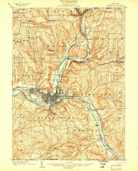
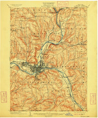
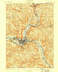
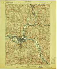
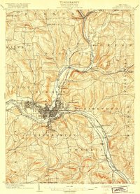
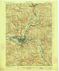
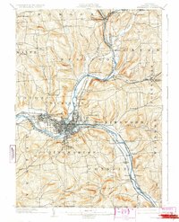
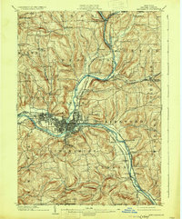
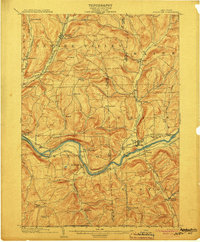
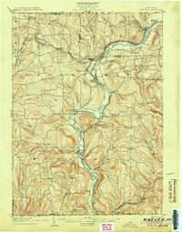
1904 Map of Binghamton
USGS Topo · Published 1904About this map
The Binghamton rail and river hub dominates this early twentieth-century landscape where the Chenango River meets the Susquehanna River. The city is surrounded by a dense network of suburban and industrial growth, including the expanding community of Lestershire and the riverside settlement of Port Dickinson. To the north, the terrain transitions into a series of narrow valleys defined by Kattel Creek and the Lily Lakes region, punctuated by rural hamlets like Chenango Forks and the curiously named New Ireland.
Find a feature on this map
62 named features on this map. Tap any name to fly to it.
Don’t see what you’re looking for? This feature index may not catch every label — zoom into the map to look around manually.
Map Details
Editions of this 1904 Binghamton Map
9 editions found
Other maps of this area

1901 · Apalachin
USGS Topo · 1:62,500

1902 · Coventry
USGS Topo · 1:62,500

1903 · Harford
USGS Topo · 1:62,500

1904 · Greene
USGS Topo · 1:62,500

1904 · Oxford
USGS Topo · 1:62,500
1904 · Apalachin
USGS Topo · 1:62,500
1905 · Nineveh
USGS Topo · 1:62,500

1906 · Catatonk
USGS Topo · 1:125,000

1932 · Susquehanna
USGS Topo · 1:62,500

1934 · Castle Creek
USGS Topo · 1:24,000