
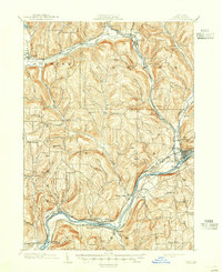
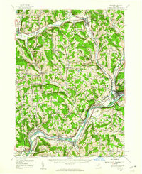
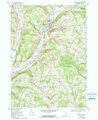
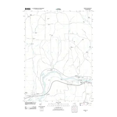
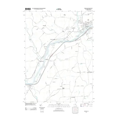
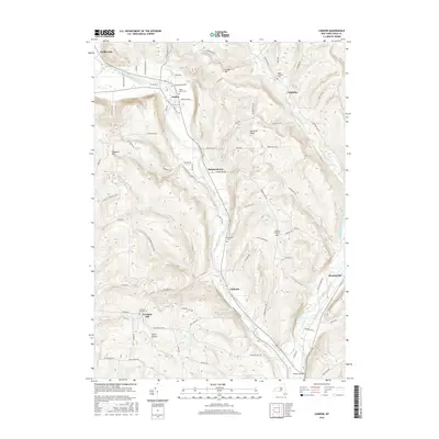
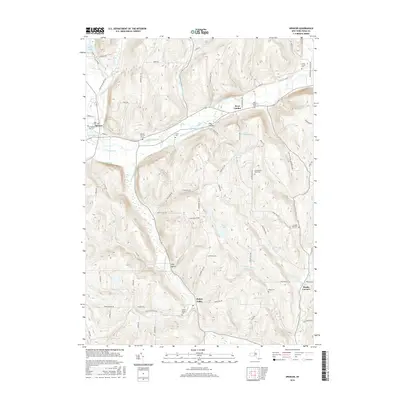
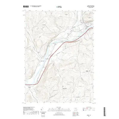
1906 Map of Catatonk
USGS Topo · Published 1906About this map
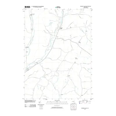
Cornell University anchors the northwestern corner of this territory, where the landscape begins its descent toward the Finger Lakes region. The terrain is defined by the deep valleys of Owego Creek and Catatonk Creek, which carve through the high ground of Tompkins and Tioga counties. This early century landscape shows a dense network of early rail infrastructure, including the Lehigh Valley RR and the Erie RR, which facilitated the movement of goods and people between agricultural hubs like Dryden and Marathon.
Find a feature on this map
153 named features on this map. Tap any name to fly to it.
Don’t see what you’re looking for? This feature index may not catch every label — zoom into the map to look around manually.
Map Details
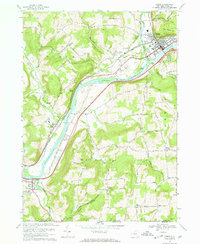
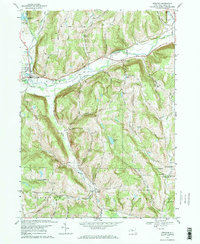
Editions of this 1906 Catatonk Map
This is the sole edition of this map. No revisions or reprints were ever made.
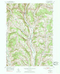
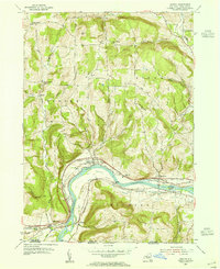
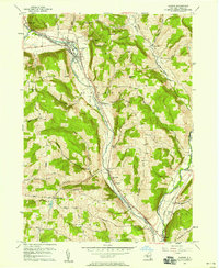
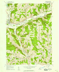
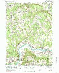
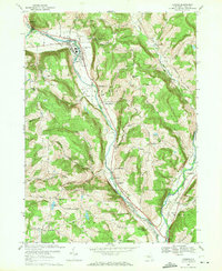
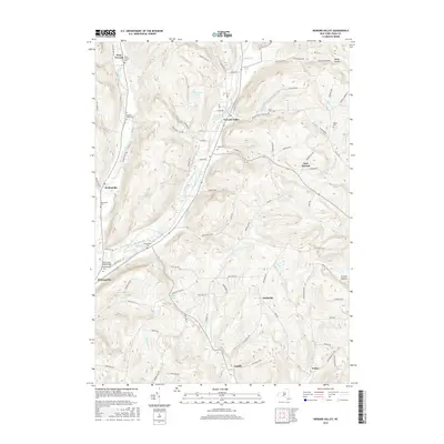
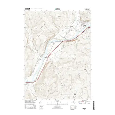
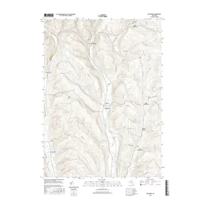
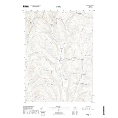
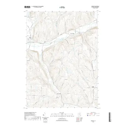
Historical Maps of Union Through Time
43 maps found
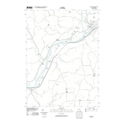
1903 Owego
Tioga County, NY
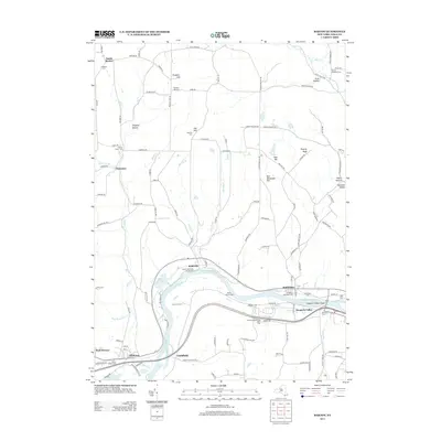
1906 Catatonk
Tioga County, NY
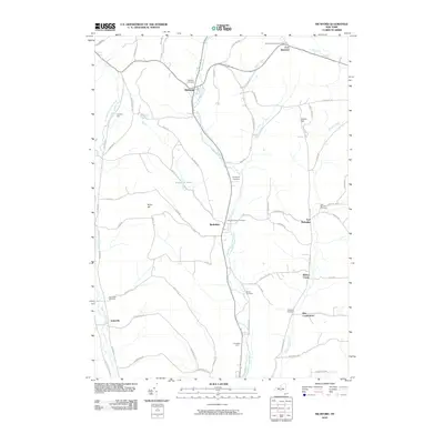
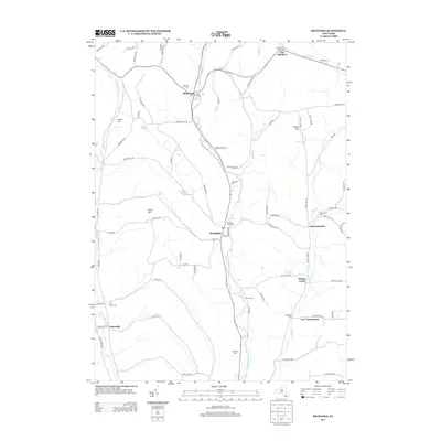
1950 Richford
Tioga County, NY
1953 Barton
Tioga County, NY
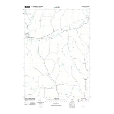
1956 Candor
Tioga County, NY

1956 Newark Valley
Tioga County, NY
1956 Owego
Tioga County, NY
1956 Spencer
Tioga County, NY
1969 Barton
Tioga County, NY
1969 Candor
Tioga County, NY
1969 Newark Valley
Tioga County, NY
1969 Owego
Tioga County, NY
1969 Spencer
Tioga County, NY
2010 Candor
Tioga County, NY
2010 Newark Valley
Tioga County, NY
2010 Owego
Tioga County, NY
2010 Richford
Tioga County, NY
2010 Spencer
Tioga County, NY
2012 Barton
Tioga County, NY
2013 Barton
Tioga County, NY
2013 Candor
Tioga County, NY
2013 Newark Valley
Tioga County, NY
2013 Owego
Tioga County, NY
2013 Richford
Tioga County, NY
2013 Spencer
Tioga County, NY
2016 Barton
Tioga County, NY
2016 Candor
Tioga County, NY
2016 Newark Valley
Tioga County, NY
2016 Owego
Tioga County, NY
2016 Richford
Tioga County, NY
2016 Spencer
Tioga County, NY
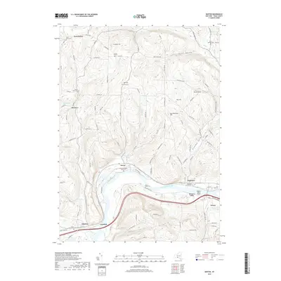
2019 Barton
Tioga County, NY
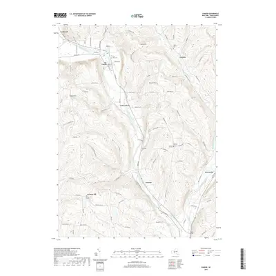
2019 Candor
Tioga County, NY
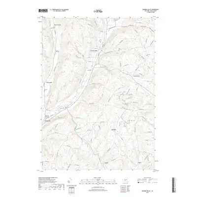
2019 Newark Valley
Tioga County, NY
2019 Owego
Tioga County, NY
2019 Richford
Tioga County, NY
2019 Spencer
Tioga County, NY

2023 Barton
Tioga County, NY

2023 Candor
Tioga County, NY

2023 Newark Valley
Tioga County, NY

2023 Owego
Tioga County, NY

2023 Richford
Tioga County, NY

2023 Spencer
Tioga County, NY