
1903 Map of Cortland
USGS Topo · Published 1903About this map
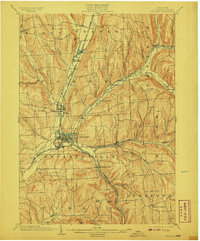
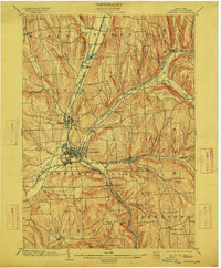
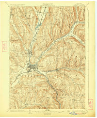
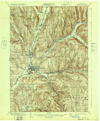
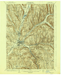
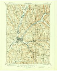
The confluence of the East Branch and West Branch Tioughnioga River serves as the geographic heart of this 1903 survey, where industrial and agricultural valleys intersect. The city of Cortland appears as a dense hub of infrastructure, including the junction of the Lehigh Valley R. R. and the Elmira and Cortland Branch. This area showcases the transition from upland farming in townships like Virgil and Freetown to the busier rail-corridors connecting Homer and McGraw.
Find a feature on this map
48 named features on this map. Tap any name to fly to it.
Don’t see what you’re looking for? This feature index may not catch every label — zoom into the map to look around manually.
Map Details
Editions of this 1903 Cortland Map
7 editions found
Other maps of this area

1897 · Cazenovia
USGS Topo · 1:62,500

1898 · Moravia
USGS Topo · 1:62,500

1899 · Skaneateles
USGS Topo · 1:62,500

1899 · Cazenovia
USGS Topo · 1:62,500

1900 · Tully
USGS Topo · 1:62,500

1900 · Dryden
USGS Topo · 1:62,500

1902 · Skaneateles
USGS Topo · 1:62,500

1902 · Moravia
USGS Topo · 1:62,500

1903 · Harford
USGS Topo · 1:62,500

1904 · Greene
USGS Topo · 1:62,500