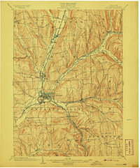
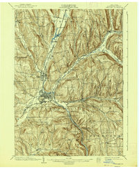
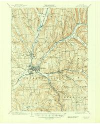
1903 Map of Cortland
USGS Topo · Published 1908About this map
Cortland serves as the industrial and transportation hub of this Central New York region at the turn of the century. The city sits at the confluence of the West Branch Tioughnioga River and its East Branch, where a complex network of iron rails converge. Three major railroads, including the Delaware Lackawanna and Western R. R. and the Erie and Central New York R. R., weave through the valley, connecting outlying settlements like Homer and McGraw.
Find a feature on this map
48 named features on this map. Tap any name to fly to it.
Don’t see what you’re looking for? This feature index may not catch every label — zoom into the map to look around manually.
Map Details
Editions of this 1903 Cortland Map
7 editions found
Other maps of this area

1897 · Cazenovia
USGS Topo · 1:62,500

1898 · Moravia
USGS Topo · 1:62,500

1899 · Skaneateles
USGS Topo · 1:62,500

1899 · Cazenovia
USGS Topo · 1:62,500

1900 · Tully
USGS Topo · 1:62,500

1900 · Dryden
USGS Topo · 1:62,500

1902 · Skaneateles
USGS Topo · 1:62,500

1902 · Moravia
USGS Topo · 1:62,500

1903 · Cortland
USGS Topo · 1:62,500

1903 · Harford
USGS Topo · 1:62,500