
1902 Map of Moravia
USGS Topo · Published 1902About this map
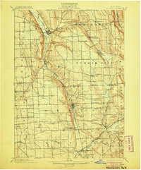
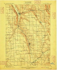
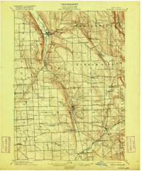
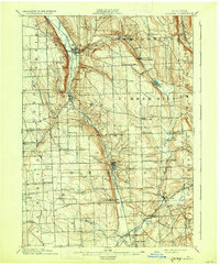
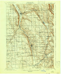
Lehigh Valley RR tracks follow the valley of the Owasco Inlet through the heart of the Finger Lakes region in this early twentieth-century survey. The landscape is defined by the steep-sided Owasco Hill and Jewett Hill, with small farming communities and milling hamlets established at crossroads and along watercourses. Industrial activity is evident at Morse Mill and in the cluster of small settlements like Montville and Dresserville that grew around the local water power of Bear Swamp Creek and Fall Creek.
Find a feature on this map
59 named features on this map. Tap any name to fly to it.
Don’t see what you’re looking for? This feature index may not catch every label — zoom into the map to look around manually.
Map Details
Editions of this 1902 Moravia Map
7 editions found
Other maps of this area

1893 · Ithaca
USGS Topo · 1:62,500

1895 · Ithaca
USGS Topo · 1:62,500

1898 · Moravia
USGS Topo · 1:62,500

1899 · Auburn
USGS Topo · 1:62,500

1899 · Skaneateles
USGS Topo · 1:62,500

1900 · Tully
USGS Topo · 1:62,500

1900 · Dryden
USGS Topo · 1:62,500

1902 · Skaneateles
USGS Topo · 1:62,500

1902 · Genoa
USGS Topo · 1:62,500

1902 · Auburn
USGS Topo · 1:62,500