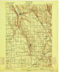
1902 Map of Moravia
USGS Topo · Published 1916About this map
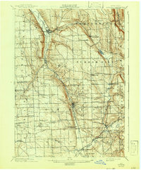
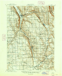
Moravia and Groton anchor this late 19th-century survey of the Finger Lakes region, where the industrial and agricultural landscape of Cayuga and Tompkins counties is meticulously documented. The Lehigh Valley railroad follows the path of the Owasco Inlet, connecting the southern tip of Owasco Lake to the bustling village centers of Locke and Peruville. At this time, the landscape was dense with small-scale rural industry and named crossroads that served local farming families, including Morse Mill, Dresserville, and the milling hamlets along Fall Creek.
Find a feature on this map
61 named features on this map. Tap any name to fly to it.
Don’t see what you’re looking for? This feature index may not catch every label — zoom into the map to look around manually.
Map Details
Editions of this 1902 Moravia Map
7 editions found
Other maps of this area

1893 · Ithaca
USGS Topo · 1:62,500

1895 · Ithaca
USGS Topo · 1:62,500

1898 · Moravia
USGS Topo · 1:62,500

1899 · Auburn
USGS Topo · 1:62,500

1899 · Skaneateles
USGS Topo · 1:62,500

1900 · Tully
USGS Topo · 1:62,500

1900 · Dryden
USGS Topo · 1:62,500

1902 · Skaneateles
USGS Topo · 1:62,500

1902 · Moravia
USGS Topo · 1:62,500

1902 · Genoa
USGS Topo · 1:62,500