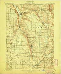
1902 Map of Moravia
USGS Topo · Published 1905About this map
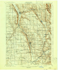
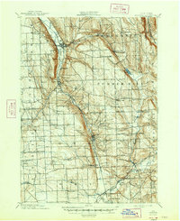
Owasco Inlet carves a deep path through this Finger Lakes upland, anchoring a corridor for the Lehigh Valley railroad and major settlements. During the late nineteenth century, this landscape was defined by its transition from high ridges like Owasco Hill and Jewett Hill to the busy industrial and agricultural hubs of Moravia and Groton. The map reveals an intricate network of small crossroads and family-named hamlets such as Wilson Corners, Riggs Corners, and Benson Corners, which served a rural population before the consolidation of rural infrastructure. Evidence of early industry remains visible through the labeling of Morse Mill and the cluster of activity at Montville. To the south, the intersection of rail lines and waterways like Fall Creek and Virgil Creek at McLean and Freeville illustrates how vital these transport links were for connecting Cayuga and Tompkins counties to wider markets.
Find a feature on this map
66 named features on this map. Tap any name to fly to it.
Don’t see what you’re looking for? This feature index may not catch every label — zoom into the map to look around manually.
Map Details
Editions of this 1902 Moravia Map
7 editions found
Other maps of this area

1893 · Ithaca
USGS Topo · 1:62,500

1895 · Ithaca
USGS Topo · 1:62,500

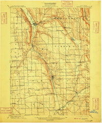
1898 · Moravia
USGS Topo · 1:62,500

1899 · Auburn
USGS Topo · 1:62,500

1899 · Skaneateles
USGS Topo · 1:62,500

1900 · Tully
USGS Topo · 1:62,500

1900 · Dryden
USGS Topo · 1:62,500

1902 · Skaneateles
USGS Topo · 1:62,500

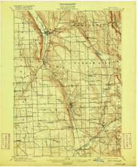
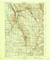
1902 · Moravia
USGS Topo · 1:62,500

1902 · Genoa
USGS Topo · 1:62,500