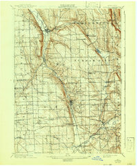
1902 Map of Moravia
USGS Topo · Published 1942About this map
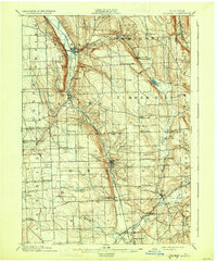
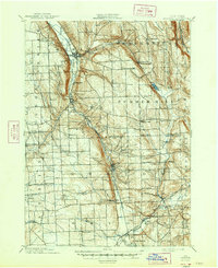
Moravia and Groton serve as the primary hubs in this turn-of-the-century portrait of Central New York's Finger Lakes region. The landscape is defined by the steep-sided valley of the Owasco Inlet, where the Lehigh Valley railroad threads through a narrow corridor between Owasco Hill and Jewett Hill. To the east, the plateau is dotted with small agricultural hamlets like Dresserville and Summer Hill, while the waters of Lake Como and Fall Creek drain the upland basins. The map illustrates a dense network of country crossroads and industrial relics, including water-powered sites such as Morse Mill and Red Mill. In the southern portion, the Elmira Cortland and Northern line intersects with the Lehigh Valley at Freeville, highlighting a period when rail connectivity was essential to the economic life of these small Cayuga and Tompkins County villages.
Find a feature on this map
57 named features on this map. Tap any name to fly to it.
Don’t see what you’re looking for? This feature index may not catch every label — zoom into the map to look around manually.
Map Details
Editions of this 1902 Moravia Map
7 editions found
Other maps of this area

1893 · Ithaca
USGS Topo · 1:62,500

1895 · Ithaca
USGS Topo · 1:62,500

1898 · Moravia
USGS Topo · 1:62,500

1899 · Auburn
USGS Topo · 1:62,500

1899 · Skaneateles
USGS Topo · 1:62,500

1900 · Tully
USGS Topo · 1:62,500

1900 · Dryden
USGS Topo · 1:62,500

1902 · Skaneateles
USGS Topo · 1:62,500

1902 · Moravia
USGS Topo · 1:62,500

1902 · Genoa
USGS Topo · 1:62,500