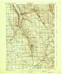
1902 Map of Moravia
USGS Topo · Published 1931About this map
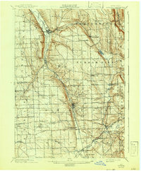
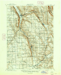
Deep glacial valleys and steep hillsides define this turn-of-the-century landscape at the southern end of Owasco Lake. The Lehigh Valley Railroad runs through the narrow trench of the Owasco Inlet, connecting the principal village of Moravia with the manufacturing center of Groton. The era’s reliance on water power is evident at Morse Mill, while small agricultural clusters like North Summer Hill and Dresserville dot the high plateaus.
Find a feature on this map
66 named features on this map. Tap any name to fly to it.
Don’t see what you’re looking for? This feature index may not catch every label — zoom into the map to look around manually.
Map Details
Editions of this 1902 Moravia Map
7 editions found
Other maps of this area

1893 · Ithaca
USGS Topo · 1:62,500

1895 · Ithaca
USGS Topo · 1:62,500

1898 · Moravia
USGS Topo · 1:62,500

1899 · Auburn
USGS Topo · 1:62,500

1899 · Skaneateles
USGS Topo · 1:62,500

1900 · Tully
USGS Topo · 1:62,500

1900 · Dryden
USGS Topo · 1:62,500

1902 · Skaneateles
USGS Topo · 1:62,500

1902 · Moravia
USGS Topo · 1:62,500

1902 · Genoa
USGS Topo · 1:62,500