
1900 Map of Dryden
USGS Topo · Published 1900About this map
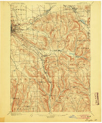
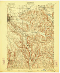
Cornell University overlooks the developing city of Ithaca at the turn of the century, where the steep climb from the Cascadilla Creek gorge meets a complex network of early railways. This 1900 survey captures the region's industrial and agricultural peak, defined by the Lehigh Valley RR and the Elmira And Cortland Division as they navigate the deep valleys of the Finger Lakes hinterland. Rural life centers on hamlets like Slaterville Springs, Etna, and Brookton, with the landscape rising sharply toward Mt Pleasant and Turkey Hill. The southeastern corner shows the importance of water and transport in Willseyville and Speedsville, where creeks like the West Branch Owego Creek carve routes through the hills. For the local historian, the map reveals the precise placement of railroad depots, such as Caroline Depot, and numerous small communities like White Church that anchored the social fabric of Tompkins and Tioga Counties before the era of modern highways.
Find a feature on this map
56 named features on this map. Tap any name to fly to it.
Don’t see what you’re looking for? This feature index may not catch every label — zoom into the map to look around manually.
Map Details
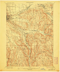
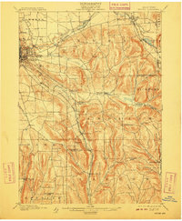
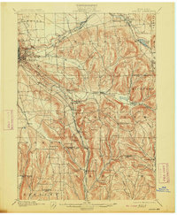
Editions of this 1900 Dryden Map
9 editions found
Other maps of this area

1893 · Ithaca
USGS Topo · 1:62,500

1895 · Ithaca
USGS Topo · 1:62,500

1898 · Moravia
USGS Topo · 1:62,500

1901 · Apalachin
USGS Topo · 1:62,500

1902 · Waverly
USGS Topo · 1:62,500

1902 · Moravia
USGS Topo · 1:62,500

1902 · Genoa
USGS Topo · 1:62,500

1903 · Cortland
USGS Topo · 1:62,500

1903 · Owego
USGS Topo · 1:62,500

1903 · Harford
USGS Topo · 1:62,500