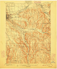
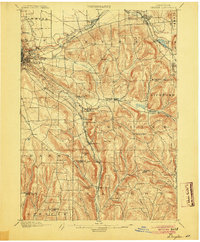
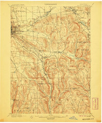
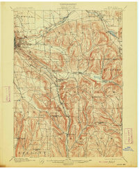
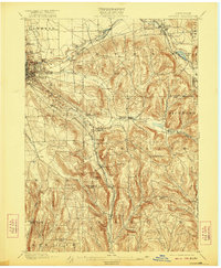
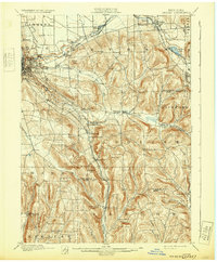
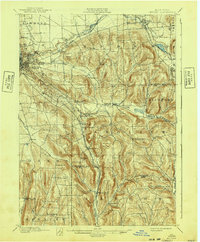
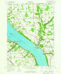
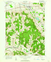
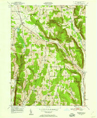
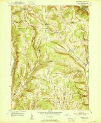
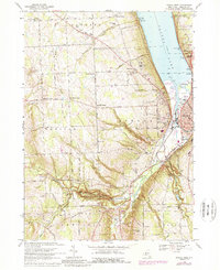
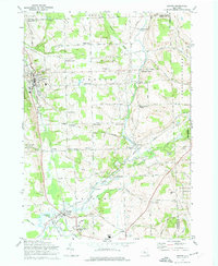
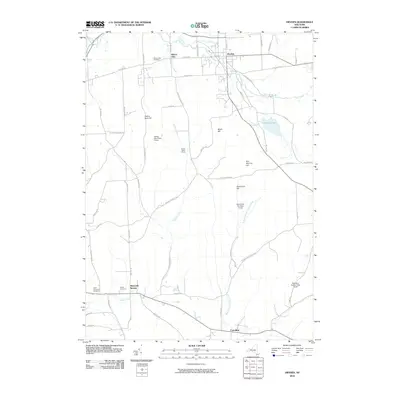
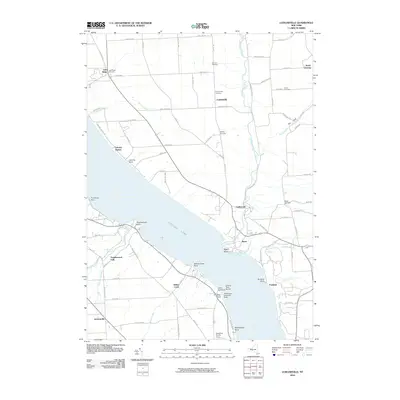
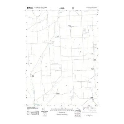
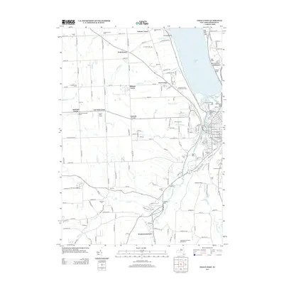
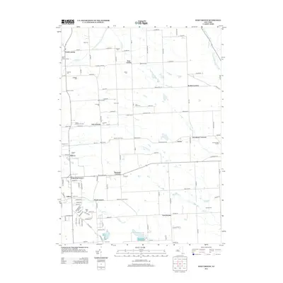
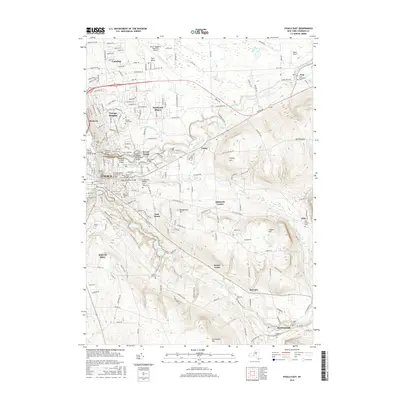
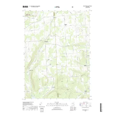
1900 Map of Dryden
USGS Topo · Published 1909About this map
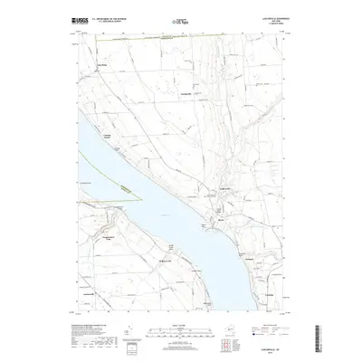
Cornell University stands as a prominent academic hub overlooking the growing city of Ithaca in this late nineteenth-century survey of the Finger Lakes region. The landscape is defined by its complex topography and a dense network of watercourses, including Fall Creek, Sixmile Creek, and Cascadilla Creek, which have shaped the settlement patterns of towns like Dryden and Slaterville Springs. The era's heavy reliance on rail is evident through the crossing of the Lehigh Valley and the Delaware Lackawanna And Western railroads, which facilitated trade and movement through the valleys.
Find a feature on this map
60 named features on this map. Tap any name to fly to it.
Don’t see what you’re looking for? This feature index may not catch every label — zoom into the map to look around manually.
Map Details
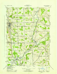
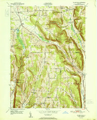
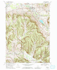
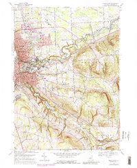
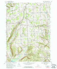
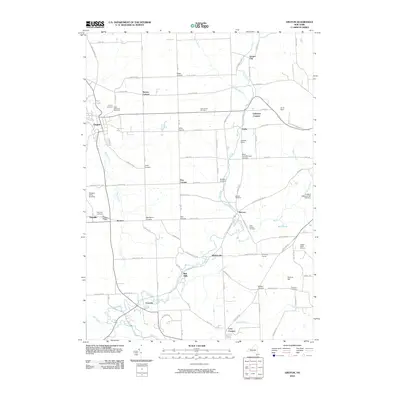
Editions of this 1900 Dryden Map
9 editions found

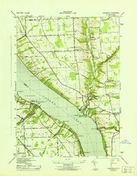
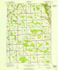
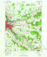
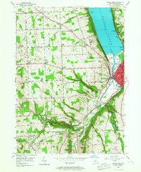
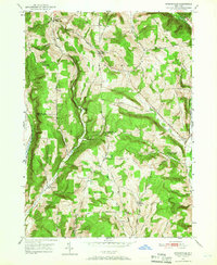
Historical Maps of Ithaca Through Time
71 maps found

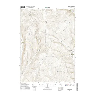
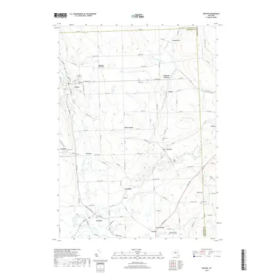
1900 Dryden
Tompkins County, NY
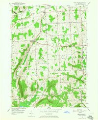
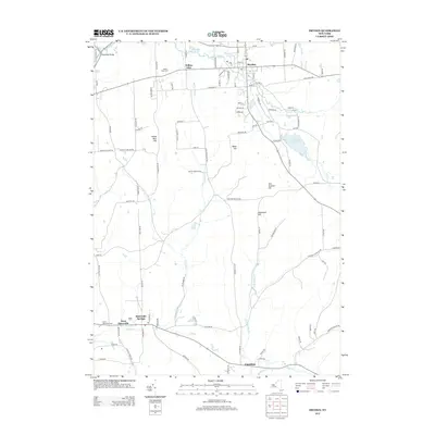
1942 Groton
Tompkins County, NY
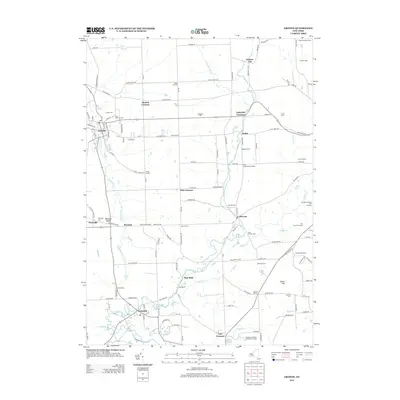
1942 Ludlowville
Tompkins County, NY
1943 Groton
Tompkins County, NY
1943 Ludlowville
Tompkins County, NY
1943 West Groton
Tompkins County, NY
1949 Dryden
Tompkins County, NY
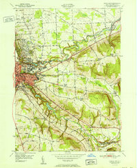
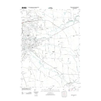
1949 Ithaca East
Tompkins County, NY
1949 Ithaca West
Tompkins County, NY
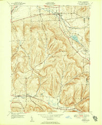
1949 Speedsville
Tompkins County, NY
1949 Willseyville
Tompkins County, NY
1950 Mecklenburg
Tompkins County, NY
1951 Dryden
Tompkins County, NY
1951 Ithaca East
Tompkins County, NY
1951 Speedsville
Tompkins County, NY
1951 Willseyville
Tompkins County, NY
1969 Dryden
Tompkins County, NY
1969 Ithaca East
Tompkins County, NY
1969 Ithaca West
Tompkins County, NY
1969 Mecklenburg
Tompkins County, NY
1969 Speedsville
Tompkins County, NY
1969 Willseyville
Tompkins County, NY
1970 Groton
Tompkins County, NY
1970 West Groton
Tompkins County, NY
1971 Ludlowville
Tompkins County, NY
1978 Ithaca West
Tompkins County, NY
2010 Dryden
Tompkins County, NY
2010 Groton
Tompkins County, NY
2010 Ithaca East
Tompkins County, NY
2010 Ithaca West
Tompkins County, NY
2010 Ludlowville
Tompkins County, NY
2010 Speedsville
Tompkins County, NY
2010 West Groton
Tompkins County, NY
2010 Willseyville
Tompkins County, NY
2011 Mecklenburg
Tompkins County, NY
2013 Dryden
Tompkins County, NY
2013 Groton
Tompkins County, NY
2013 Ithaca East
Tompkins County, NY
2013 Ithaca West
Tompkins County, NY
2013 Ludlowville
Tompkins County, NY
2013 Mecklenburg
Tompkins County, NY
2013 Speedsville
Tompkins County, NY
2013 West Groton
Tompkins County, NY
2013 Willseyville
Tompkins County, NY
2016 Dryden
Tompkins County, NY
2016 Groton
Tompkins County, NY
2016 Ithaca East
Tompkins County, NY
2016 Ithaca West
Tompkins County, NY
2016 Ludlowville
Tompkins County, NY
2016 Mecklenburg
Tompkins County, NY
2016 Speedsville
Tompkins County, NY
2016 West Groton
Tompkins County, NY
2016 Willseyville
Tompkins County, NY
2019 Dryden
Tompkins County, NY
2019 Groton
Tompkins County, NY
2019 Ithaca East
Tompkins County, NY
2019 Ithaca West
Tompkins County, NY
2019 Ludlowville
Tompkins County, NY
2019 Mecklenburg
Tompkins County, NY
2019 Speedsville
Tompkins County, NY
2019 West Groton
Tompkins County, NY
2019 Willseyville
Tompkins County, NY

2023 Dryden
Tompkins County, NY

2023 Groton
Tompkins County, NY

2023 Ithaca East
Tompkins County, NY

2023 Ithaca West
Tompkins County, NY

2023 Ludlowville
Tompkins County, NY

2023 Mecklenburg
Tompkins County, NY

2023 Speedsville
Tompkins County, NY

2023 West Groton
Tompkins County, NY

2023 Willseyville
Tompkins County, NY