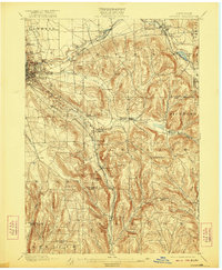
1900 Map of Dryden
USGS Topo · Published 1922About this map
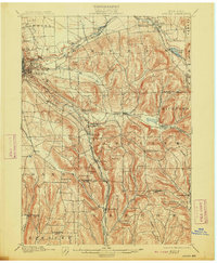
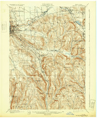
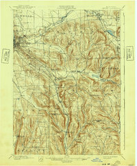
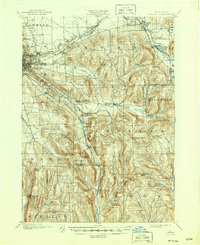
Cornell University overlooks the steep gorge of Cascadilla Creek on the eastern edge of Ithaca, serving as a prominent landmark in a landscape defined by sharp elevation changes and deep creek beds. This era was characterized by a dense network of iron rails, where the Lehigh Valley and the Elmira and Cortland Division intersect at Cortland Junction, facilitating the transport of goods and people through the upland valleys. Small settlements like Etna, Varna, and Slaterville Springs are connected by winding roads that follow the natural contours of the hills, including heights such as Turkey Hill and Mt Pleasant.
Find a feature on this map
56 named features on this map. Tap any name to fly to it.
Don’t see what you’re looking for? This feature index may not catch every label — zoom into the map to look around manually.
Map Details
Editions of this 1900 Dryden Map
9 editions found
Other maps of this area

1893 · Ithaca
USGS Topo · 1:62,500

1895 · Ithaca
USGS Topo · 1:62,500

1898 · Moravia
USGS Topo · 1:62,500

1900 · Dryden
USGS Topo · 1:62,500

1901 · Apalachin
USGS Topo · 1:62,500

1902 · Waverly
USGS Topo · 1:62,500

1902 · Moravia
USGS Topo · 1:62,500

1902 · Genoa
USGS Topo · 1:62,500

1903 · Cortland
USGS Topo · 1:62,500

1903 · Owego
USGS Topo · 1:62,500