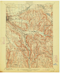
1900 Map of Dryden
USGS Topo · Published 1913About this map
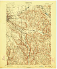
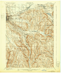
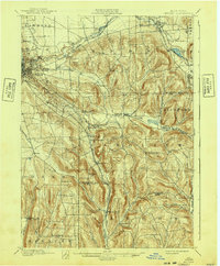
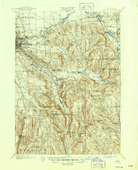
Cornell University anchors the western edge of this landscape, overlooking the growing city of Ithaca and the waters of Cascadilla Creek. This late 19th-century survey illustrates a dense network of valley settlements and upland summits throughout Tompkins and Tioga counties. Significant railway infrastructure defines the local economy, with the Lehigh Valley and the Elmira and Cortland Branch facilitating movement between hubs like Dryden, Brookton, and Willseyville. The rural character of the region is punctuated by family-named landmarks and minor junctions, including Caroline Depot and Cortland Junction. Natural drainage patterns are dominated by Sixmile Creek and Fall Creek, which carve through the terrain near Turkey Hill and Mount Pleasant, connecting isolated hamlets like Speedsville and Slaterville Springs to the larger collegiate and industrial centers to the west.
Find a feature on this map
59 named features on this map. Tap any name to fly to it.
Don’t see what you’re looking for? This feature index may not catch every label — zoom into the map to look around manually.
Map Details
Editions of this 1900 Dryden Map
9 editions found
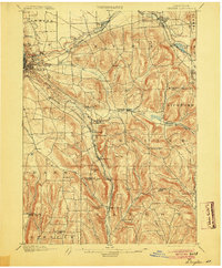
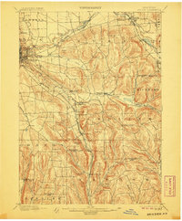
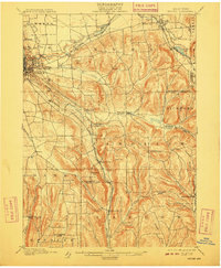
Other maps of this area

1893 · Ithaca
USGS Topo · 1:62,500

1895 · Ithaca
USGS Topo · 1:62,500

1898 · Moravia
USGS Topo · 1:62,500

1900 · Dryden
USGS Topo · 1:62,500

1901 · Apalachin
USGS Topo · 1:62,500

1902 · Waverly
USGS Topo · 1:62,500

1902 · Moravia
USGS Topo · 1:62,500

1902 · Genoa
USGS Topo · 1:62,500

1903 · Cortland
USGS Topo · 1:62,500

1903 · Owego
USGS Topo · 1:62,500