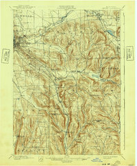
1900 Map of Dryden
USGS Topo · Published 1940About this map
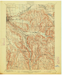
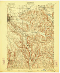
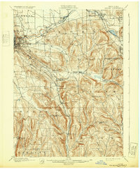
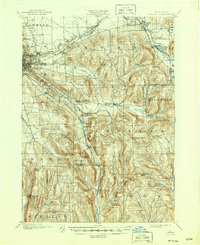
The hills and valleys of Tompkins County are meticulously documented in this 1898 survey, highlighting the complex infrastructure that supported the eastern outskirts of Ithaca and the campus of Cornell University. The landscape is defined by the deep gorges of Fall Creek, Cascadilla Creek, and Sixmile Creek, which cut through the terrain toward the Cayuga Lake basin. The era’s vital rail network is prominently displayed, featuring the Lehigh Valley Railroad with its multiple divisions and the Delaware Lackawanna and Western Railroad winding through the valley near Brookton. Smaller rural communities like Slaterville Springs, White Church, and Caroline Depot appear as established hubs connected by country roads and creek-side settlements. From the wetlands of Dryden Lake to the elevations of Bald Mt., the map preserves the turn-of-the-century footprint of these central New York towns before modern highway expansion altered the local geography.
Find a feature on this map
54 named features on this map. Tap any name to fly to it.
Don’t see what you’re looking for? This feature index may not catch every label — zoom into the map to look around manually.
Map Details
Editions of this 1900 Dryden Map
9 editions found
Other maps of this area

1893 · Ithaca
USGS Topo · 1:62,500

1895 · Ithaca
USGS Topo · 1:62,500

1898 · Moravia
USGS Topo · 1:62,500

1900 · Dryden
USGS Topo · 1:62,500

1901 · Apalachin
USGS Topo · 1:62,500

1902 · Waverly
USGS Topo · 1:62,500

1902 · Moravia
USGS Topo · 1:62,500

1902 · Genoa
USGS Topo · 1:62,500

1903 · Cortland
USGS Topo · 1:62,500

1903 · Owego
USGS Topo · 1:62,500