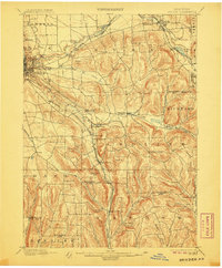
1900 Map of Dryden
USGS Topo · Published 1906About this map
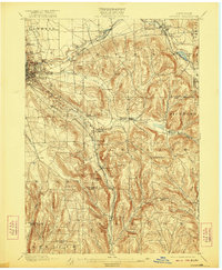
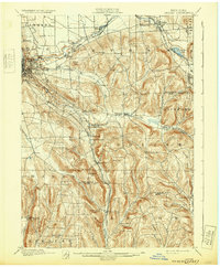
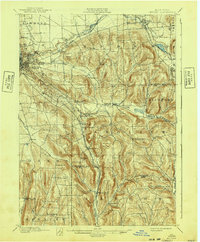
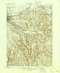
Cornell University stands as a prominent landmark on the western edge of this 1898 survey, overlooking Ithaca and the steep descent toward the lake basin. The landscape is defined by a dense network of upland settlements and valley corridors, where the Lehigh Valley railroad and its various branches, including the Elmira and Cortland Branch, weave through the hills to connect villages like Dryden and Willow Glen.
Find a feature on this map
59 named features on this map. Tap any name to fly to it.
Don’t see what you’re looking for? This feature index may not catch every label — zoom into the map to look around manually.
Map Details
Editions of this 1900 Dryden Map
9 editions found
Other maps of this area

1893 · Ithaca
USGS Topo · 1:62,500

1895 · Ithaca
USGS Topo · 1:62,500

1898 · Moravia
USGS Topo · 1:62,500

1900 · Dryden
USGS Topo · 1:62,500

1901 · Apalachin
USGS Topo · 1:62,500

1902 · Waverly
USGS Topo · 1:62,500

1902 · Moravia
USGS Topo · 1:62,500

1902 · Genoa
USGS Topo · 1:62,500

1903 · Cortland
USGS Topo · 1:62,500

1903 · Owego
USGS Topo · 1:62,500