
1895 Map of Ithaca
USGS Topo · Published 1895About this map
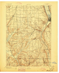
Ithaca sits at the southern tip of Cayuga Lake, serving as a focal point for commerce and transportation in Central New York during the late nineteenth century. The town's grid is clearly defined near the shore, where Cayuga Inlet and the Lehigh Valley R. R. converge to move goods through the Finger Lakes region. The landscape is defined by its deep drainages and dramatic elevation changes, evidenced by landmarks like Buttermilk Falls and the surrounding gorges of Esty Glen and Twin Glens.
Find a feature on this map
64 named features on this map. Tap any name to fly to it.
Don’t see what you’re looking for? This feature index may not catch every label — zoom into the map to look around manually.
Map Details
Editions of this 1895 Ithaca Map
13 editions found
1895 edition
17 x 20.9 inches
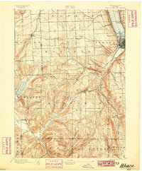
1897 edition
17 x 21 inches
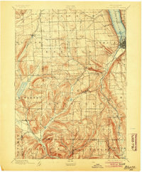
1899 edition
16.6 x 20.2 inches
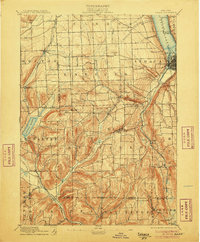
1904 edition
16.6 x 20.1 inches
1906 edition
16.6 x 20.1 inches
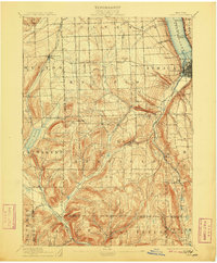
1909 edition
16.6 x 20.1 inches
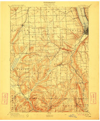
1912 edition
16.6 x 20.1 inches
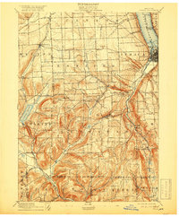
1918 edition
16.6 x 20.1 inches
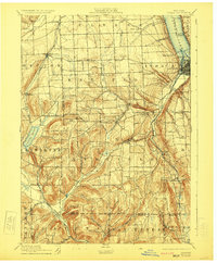
1923 edition
16.6 x 20.2 inches
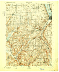
1929 edition
16.6 x 20.1 inches
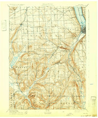
1932 edition
16.6 x 20.1 inches
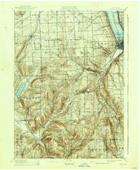
1938 edition
16.6 x 20.1 inches
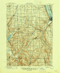
1946 edition
17 x 20.8 inches
Other maps of this area

1893 · Ithaca
USGS Topo · 1:62,500

1895 · Elmira
USGS Topo · 1:62,500

1898 · Moravia
USGS Topo · 1:62,500

1898 · Watkins Glen
USGS Topo · 1:62,500

1900 · Dryden
USGS Topo · 1:62,500

1901 · Watkins
USGS Topo · 1:62,500

1902 · Waverly
USGS Topo · 1:62,500

1902 · Moravia
USGS Topo · 1:62,500

1902 · Genoa
USGS Topo · 1:62,500

1902 · Ovid
USGS Topo · 1:62,500