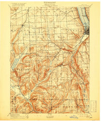
1895 Map of Ithaca
USGS Topo · Published 1918About this map
Ithaca anchors the northeastern corner of this landscape, its urban grid tightly packed against the southern tip of Cayuga Lake. The 1893 survey reveals a region defined by steep glacial topography and a vital transportation network, including the Steamboat Route on the water and the Lehigh Valley Railroad winding through the valleys. The terrain transitions from the lake's edge to the high elevations of Key Hill and Bull Hill, where numerous small hamlets like Trumbull Corner and Applegate serve as crossroads for upland farming communities. Notable natural landmarks such as Buttermilk Falls and Enfield Falls illustrate the dramatic descent of creeks toward the lake basin. To the southwest, the village of Alpine and the shores of Cayuta Lake represent the borderlands of Schuyler and Tompkins counties, where narrow corridors like Pony Hollow Creek provided essential passages for early transit.
Find a feature on this map
64 named features on this map. Tap any name to fly to it.
Don’t see what you’re looking for? This feature index may not catch every label — zoom into the map to look around manually.
Map Details
Editions of this 1895 Ithaca Map
13 editions found

1895 edition
17 x 20.9 inches
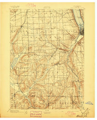
1897 edition
17 x 21 inches
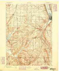
1899 edition
16.6 x 20.2 inches
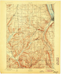
1904 edition
16.6 x 20.1 inches
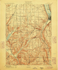
1906 edition
16.6 x 20.1 inches
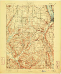
1909 edition
16.6 x 20.1 inches
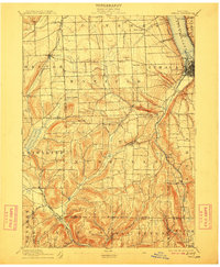
1912 edition
16.6 x 20.1 inches
1918 edition
16.6 x 20.1 inches
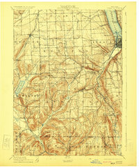
1923 edition
16.6 x 20.2 inches
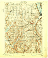
1929 edition
16.6 x 20.1 inches
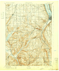
1932 edition
16.6 x 20.1 inches
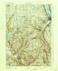
1938 edition
16.6 x 20.1 inches
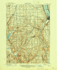
1946 edition
17 x 20.8 inches
Other maps of this area

1893 · Ithaca
USGS Topo · 1:62,500
1895 · Ithaca
USGS Topo · 1:62,500

1895 · Elmira
USGS Topo · 1:62,500

1898 · Moravia
USGS Topo · 1:62,500

1898 · Watkins Glen
USGS Topo · 1:62,500

1900 · Dryden
USGS Topo · 1:62,500

1901 · Watkins
USGS Topo · 1:62,500

1902 · Waverly
USGS Topo · 1:62,500

1902 · Moravia
USGS Topo · 1:62,500

1902 · Genoa
USGS Topo · 1:62,500