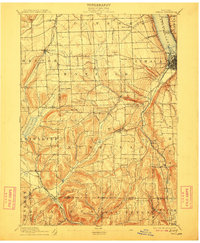
1895 Map of Ithaca
USGS Topo · Published 1912About this map
The hills of the Finger Lakes region are defined by steep glacial valleys and numerous waterfalls in this late nineteenth-century survey. Ithaca sits at the southern tip of Cayuga Lake, where the Steamboat Route connected the city to northern ports. The map illustrates the early transportation network of the Finger Lakes, dominated by the Lehigh Valley RR as it winds through the valley floors and around the high elevations of Connecticut Hill and Key Hill.
Find a feature on this map
62 named features on this map. Tap any name to fly to it.
Don’t see what you’re looking for? This feature index may not catch every label — zoom into the map to look around manually.
Map Details
Editions of this 1895 Ithaca Map
13 editions found

1895 edition
17 x 20.9 inches
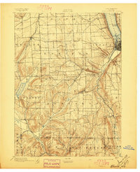
1897 edition
17 x 21 inches
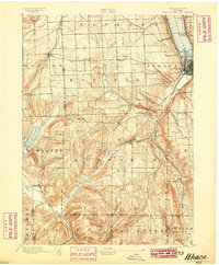
1899 edition
16.6 x 20.2 inches
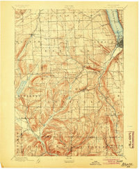
1904 edition
16.6 x 20.1 inches
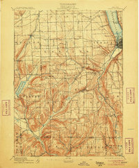
1906 edition
16.6 x 20.1 inches
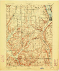
1909 edition
16.6 x 20.1 inches
1912 edition
16.6 x 20.1 inches
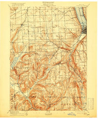
1918 edition
16.6 x 20.1 inches
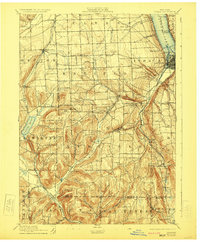
1923 edition
16.6 x 20.2 inches
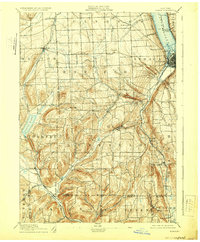
1929 edition
16.6 x 20.1 inches
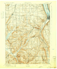
1932 edition
16.6 x 20.1 inches
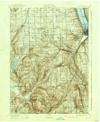
1938 edition
16.6 x 20.1 inches
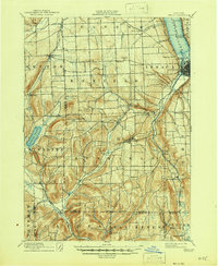
1946 edition
17 x 20.8 inches
Other maps of this area

1893 · Ithaca
USGS Topo · 1:62,500
1895 · Ithaca
USGS Topo · 1:62,500

1895 · Elmira
USGS Topo · 1:62,500

1898 · Moravia
USGS Topo · 1:62,500

1898 · Watkins Glen
USGS Topo · 1:62,500

1900 · Dryden
USGS Topo · 1:62,500

1901 · Watkins
USGS Topo · 1:62,500

1902 · Waverly
USGS Topo · 1:62,500

1902 · Moravia
USGS Topo · 1:62,500

1902 · Genoa
USGS Topo · 1:62,500