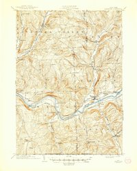
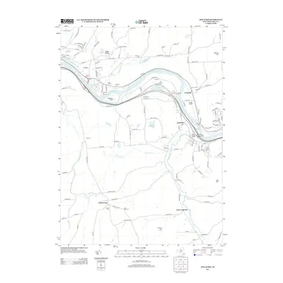
1901 Map of Apalachin
USGS Topo · Published 1901About this map
The Susquehanna River valley serves as the central artery for this Southern Tier landscape, where industrial growth and agricultural settlements meet at the turn of the century. Emerging industrial centers like Endicott and Union are tied together by a dense network of transit, including the Erie and Delaware Lackawanna And Western railroads. North of the river, the terrain rises into high ridges separated by the Nanticoke Creek and East Branch Owego Creek, where smaller hamlets such as Newark Valley and Maine established local economies based on timber and farming. Distinctive landmarks like Hiawatha I. and the Pinnacle summit break the river and ridge lines, while the New York Pennsylvania Boundary Line at the southern edge marks the transition toward the northern hills of Pennsylvania. For genealogists, the map reveals numerous family-named rural locales like Waite Settlement and Oakley Cors that represent the community fabric before modern highway expansion.
Find a feature on this map
58 named features on this map. Tap any name to fly to it.
Don’t see what you’re looking for? This feature index may not catch every label — zoom into the map to look around manually.
Map Details
Editions of this 1901 Apalachin Map
This is the sole edition of this map. No revisions or reprints were ever made.
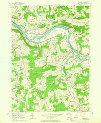
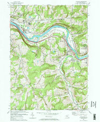
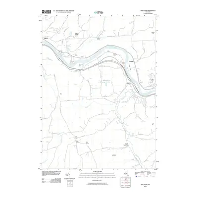
Historical Maps of Union Through Time
9 maps found