
1903 Map of Harford
USGS Topo · Published 1903About this map
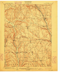
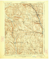
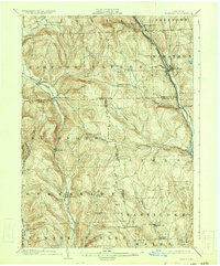
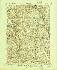
Tioughnioga River and its accompanying valley dominate the eastern edge of this landscape, serving as a primary corridor for the Delaware Lackawanna and Western RR and the Syracuse and Oswego Div. This rail network connects settlements like Marathon and Lisle, while the western hills are traversed by the Lehigh Valley RR, which passes through Harford and Richford. The map reveals a highly fragmented geography of township and county lines, where Cortland, Tioga, and Broome counties meet. Local life at the turn of the century centered on a network of small hamlets and crossroads, including Nanticoke Springs, East Richford, and Messengerville. The terrain is deeply incised by numerous waterways such as Dudley Creek, Wilson Creek, and Virgil Creek, which dictated the placement of roads and early farmsteads across the Southern Tier hills.
Find a feature on this map
52 named features on this map. Tap any name to fly to it.
Don’t see what you’re looking for? This feature index may not catch every label — zoom into the map to look around manually.
Map Details
Editions of this 1903 Harford Map
5 editions found
Other maps of this area

1898 · Moravia
USGS Topo · 1:62,500

1900 · Dryden
USGS Topo · 1:62,500

1901 · Apalachin
USGS Topo · 1:62,500

1902 · Moravia
USGS Topo · 1:62,500

1903 · Cortland
USGS Topo · 1:62,500

1903 · Owego
USGS Topo · 1:62,500

1904 · Binghamton
USGS Topo · 1:62,500

1904 · Greene
USGS Topo · 1:62,500

1904 · Apalachin
USGS Topo · 1:62,500

1904 · Pitcher
USGS Topo · 1:62,500