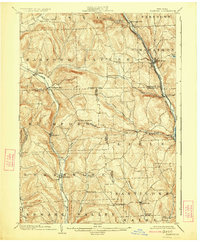
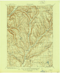
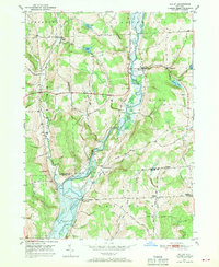
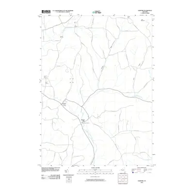
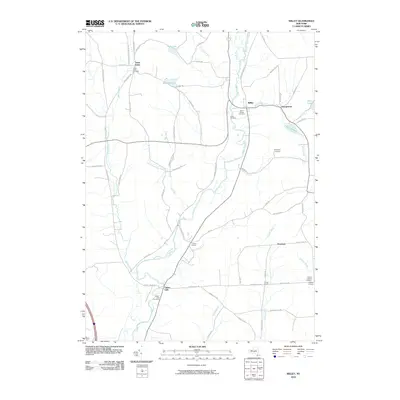
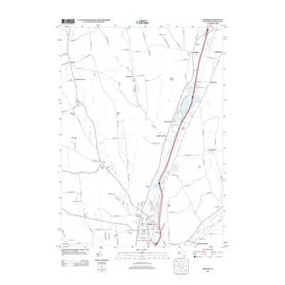
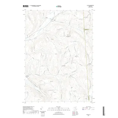
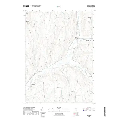
1903 Map of Harford
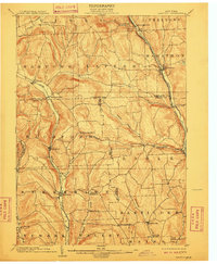
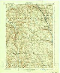
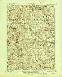
USGS Topo · Published 1924About this map
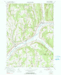
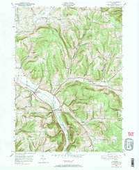
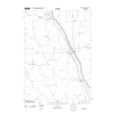
The Tioughnioga River valley serves as a primary transportation corridor on this turn-of-the-century survey, carrying the Delaware Lackawanna and Western RR through the bustling river towns of Marathon and Killawog. Further west, the Lehigh Valley RR follows the East Branch Owego Creek through Richford and Berkshire, illustrating how the region's early 20th-century economy was deeply tied to these parallel rail lines. This upland landscape between the valleys is dotted with smaller agrarian crossroads like Lapeer, Hunts Corners, and East Richford. For family historians, the map's detail extends to remote settlements such as Nanticoke Springs and Ketchumville in the southern reaches, along with numerous named corners that identify the social and commercial centers of the era. The intricate contour work highlights the dissected plateau characteristic of this part of New York, showing the steep divides that separated these tight-knit communities.
Find a feature on this map
51 named features on this map. Tap any name to fly to it.
Don’t see what you’re looking for? This feature index may not catch every label — zoom into the map to look around manually.
Map Details
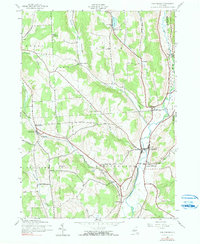
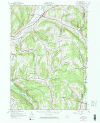
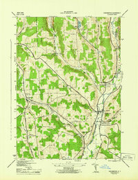
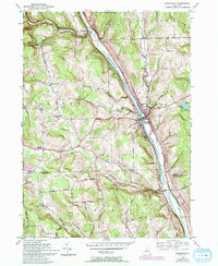
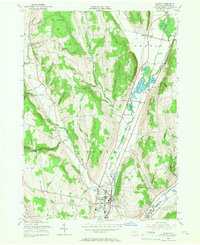
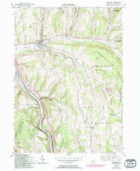
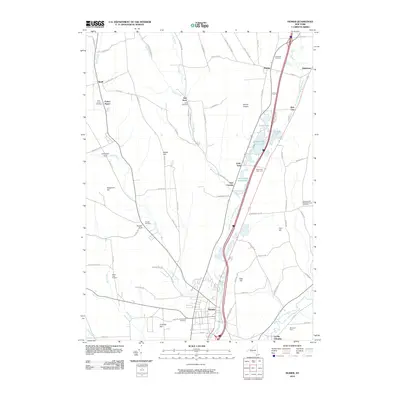
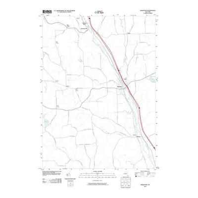
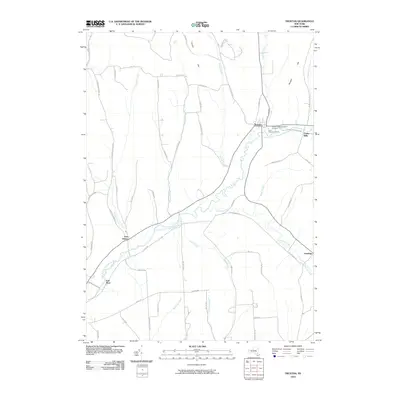
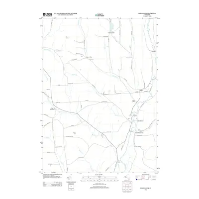
Editions of this 1903 Harford Map
5 editions found

Historical Maps of Maine Through Time
54 maps found
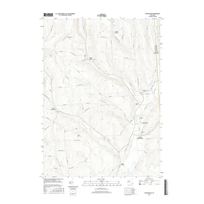
1903 Harford
Cortland County, NY
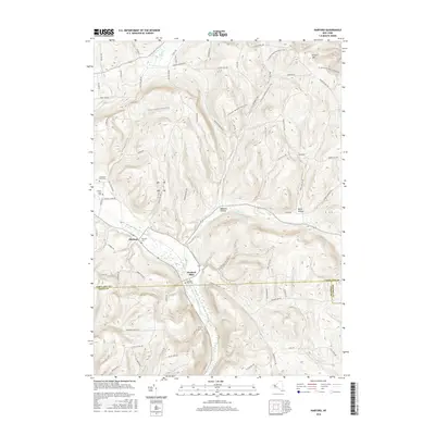
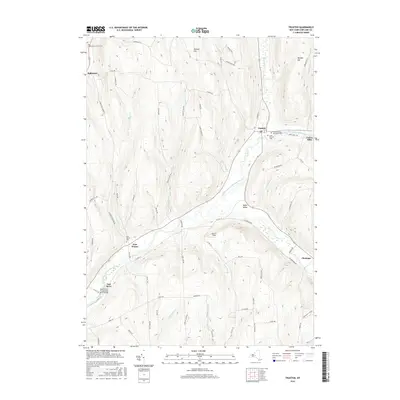
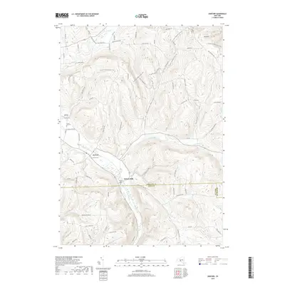
1904 Pitcher
Cortland County, NY
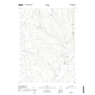
1943 Cincinnatus
Cortland County, NY
1943 Cuyler
Cortland County, NY
1944 Cincinnatus
Cortland County, NY

1944 Cuyler
Cortland County, NY

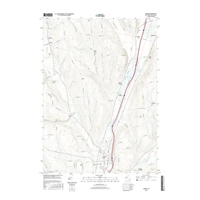
1944 Homer
Cortland County, NY

1944 Mc Graw
Cortland County, NY

1944 Truxton
Cortland County, NY

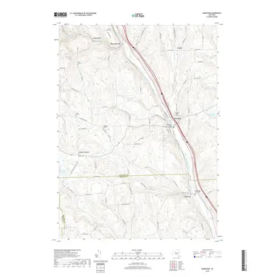
1949 Harford
Cortland County, NY
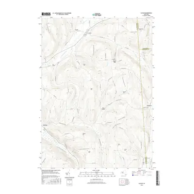
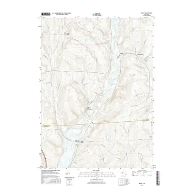
1949 Willet
Cortland County, NY
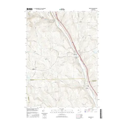
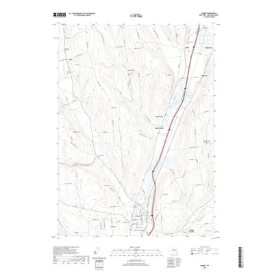
1950 Marathon
Cortland County, NY

1951 Harford
Cortland County, NY

1951 Willet
Cortland County, NY
1955 Homer
Cortland County, NY
1955 Mc Graw
Cortland County, NY
1955 Truxton
Cortland County, NY
1976 Harford
Cortland County, NY

1978 Homer
Cortland County, NY
2010 Cincinnatus
Cortland County, NY
2010 Cuyler
Cortland County, NY
2010 Harford
Cortland County, NY
2010 Homer
Cortland County, NY
2010 Marathon
Cortland County, NY
2010 Truxton
Cortland County, NY
2010 Willet
Cortland County, NY
2013 Cincinnatus
Cortland County, NY
2013 Cuyler
Cortland County, NY
2013 Harford
Cortland County, NY
2013 Homer
Cortland County, NY
2013 Marathon
Cortland County, NY
2013 Truxton
Cortland County, NY
2013 Willet
Cortland County, NY
2016 Cincinnatus
Cortland County, NY
2016 Cuyler
Cortland County, NY
2016 Harford
Cortland County, NY
2016 Homer
Cortland County, NY
2016 Marathon
Cortland County, NY
2016 Truxton
Cortland County, NY
2016 Willet
Cortland County, NY
2019 Cincinnatus
Cortland County, NY
2019 Cuyler
Cortland County, NY
2019 Harford
Cortland County, NY
2019 Homer
Cortland County, NY
2019 Marathon
Cortland County, NY
2019 Truxton
Cortland County, NY
2019 Willet
Cortland County, NY

2023 Cincinnatus
Cortland County, NY

2023 Cuyler
Cortland County, NY

2023 Harford
Cortland County, NY

2023 Homer
Cortland County, NY

2023 Marathon
Cortland County, NY

2023 Truxton
Cortland County, NY

2023 Willet
Cortland County, NY