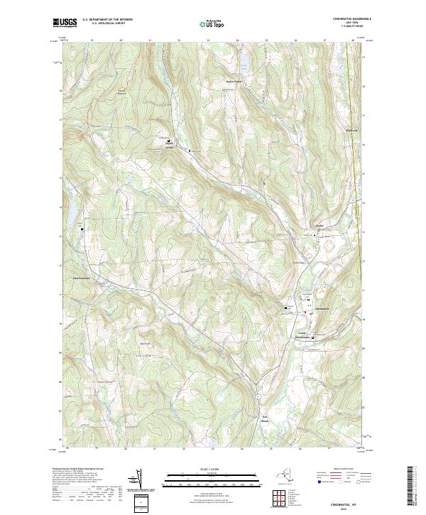
2023 Map of Cincinnatus
USGS Topo · Published 2023About this map
Mount Roderick and Dutch Hill anchor this upland landscape where the Cortland and Chenango county lines meet. The terrain is deeply inscribed by the Otselic River valley, which serves as the primary corridor for the riverside settlements of Cincinnatus, Lower Cincinnatus, and Gee Brook. These communities, along with Taylor and Hydeville, are connected by a network of rural roads that trace the winding paths of Cheningo Creek and Brakel Creek.
Find a feature on this map
88 named features on this map. Tap any name to fly to it.
Don’t see what you’re looking for? This feature index may not catch every label — zoom into the map to look around manually.
Map Details
Editions of this 2023 Cincinnatus Map
This is the sole edition of this map. No revisions or reprints were ever made.
Other maps of this area

1903 · Cortland
USGS Topo · 1:62,500

1903 · Harford
USGS Topo · 1:62,500

1904 · Greene
USGS Topo · 1:62,500

1904 · Pitcher
USGS Topo · 1:62,500

1906 · Catatonk
USGS Topo · 1:125,000

1943 · South Ostelic
USGS Topo · 1:24,000

1943 · Cincinnatus
USGS Topo · 1:24,000

1943 · Cuyler
USGS Topo · 1:24,000

1943 · Pitcher
USGS Topo · 1:24,000
1944 · Cuyler
USGS Topo · 1:31,680