
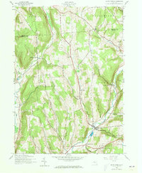
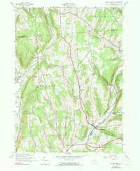
1943 Map of South Ostelic
USGS Topo · Published 1960About this map
The Otselic River valley serves as the primary artery for settlement and industry in this 1943 survey of rural Chenango and Madison counties. The village of South Otselic occupies a central role in the local economy, notably hosting a Fish Hatchery and several river-fed landmarks. The surrounding uplands are defined by small hamlets and crossroads like Mariposa, Lincklaen Center, and Waldron Corners, reflecting a mid-century agricultural landscape before the widespread consolidation of rural infrastructure.
Find a feature on this map
36 named features on this map. Tap any name to fly to it.
Don’t see what you’re looking for? This feature index may not catch every label — zoom into the map to look around manually.
Map Details
Editions of this 1943 South Ostelic Map
3 editions found
Other maps of this area

1897 · Cazenovia
USGS Topo · 1:62,500

1899 · Cazenovia
USGS Topo · 1:62,500

1902 · Morrisville
USGS Topo · 1:62,500

1903 · Norwich
USGS Topo · 1:62,500

1904 · Pitcher
USGS Topo · 1:62,500

1943 · Otselic
USGS Topo · 1:24,000

1943 · De Ruyter
USGS Topo · 1:24,000

1943 · West Eaton
USGS Topo · 1:24,000

1943 · Cincinnatus
USGS Topo · 1:24,000
1943 · Erieville
USGS Topo · 1:24,000