
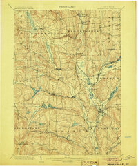
1902 Map of Morrisville
USGS Topo · Published 1902About this map
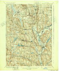
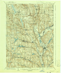
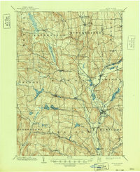
Morrisville stands as a central hub in this Madison County landscape, surveyed at the end of the 19th century when the region was defined by its intricate water and rail networks. The presence of the Chenango Canal and numerous large impoundments like Eaton Reservoir and Madison Reservoir underscores an era of sophisticated hydraulic engineering used for local transport and industry. The terrain is deeply carved by watercourses such as Oneida Creek and the Chenango River, which dictated the placement of agricultural settlements and early manufacturing sites.
Find a feature on this map
62 named features on this map. Tap any name to fly to it.
Don’t see what you’re looking for? This feature index may not catch every label — zoom into the map to look around manually.
Map Details
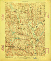
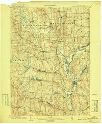
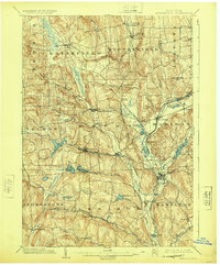
Editions of this 1902 Morrisville Map
8 editions found
Other maps of this area

1895 · Chittenango
USGS Topo · 1:62,500

1895 · Oriskany
USGS Topo · 1:62,500

1895 · Oneida
USGS Topo · 1:62,500

1897 · Cazenovia
USGS Topo · 1:62,500

1898 · Oneida
USGS Topo · 1:62,500

1898 · Chittenango
USGS Topo · 1:62,500

1898 · Oriskany
USGS Topo · 1:62,500

1899 · Cazenovia
USGS Topo · 1:62,500

1902 · Chittenango
USGS Topo · 1:62,500

1902 · Oneida
USGS Topo · 1:62,500