
Loading...
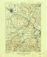
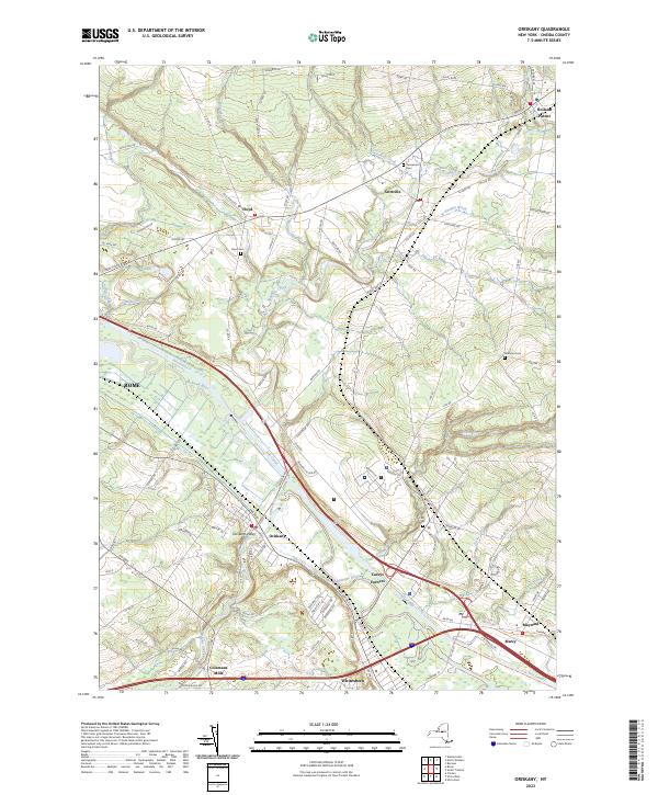
Loading map...1895 Map of Oriskany
USGS Topo · Published 1895About this map
Mohawk River valley industrialization and early New York transportation networks are shown in high detail following an 1893 survey. The landscape is defined by the parallel paths of the Erie Canal and the New York Central and Hudson River R. R., which drove the development of towns like Rome and Oriskany. A notable landmark, the Oriskany Battle Monument, stands near the river, marking the site of a pivotal Revolutionary War engagement.
Find a feature on this map
66 named features on this map. Tap any name to fly to it.
Don’t see what you’re looking for? This feature index may not catch every label — zoom into the map to look around manually.
Map Details
Date Portrayed1895
Date Published1895
PublisherU.S. Geological Survey
Map TypeTopographic
Scale1:62,500
Physical Dimensions16.6 x 20.1 inches
Editions of this 1895 Oriskany Map
This is the sole edition of this map. No revisions or reprints were ever made.
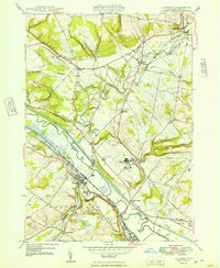
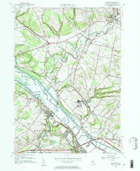
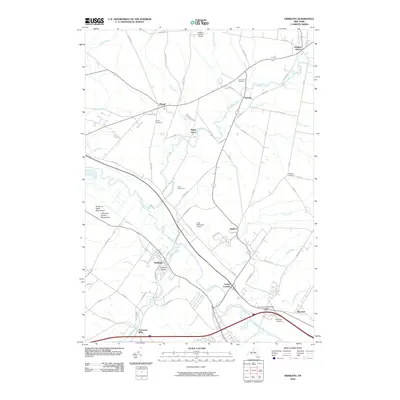
Historical Maps of Utica Through Time
9 maps found
Featured Locations
Source Details
SourceU.S. Geological Survey
CopyrightPublic Domain