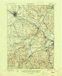
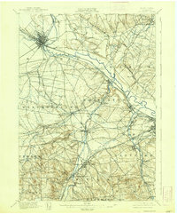
1898 Map of Oriskany
USGS Topo · Published 1946About this map
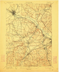
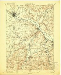
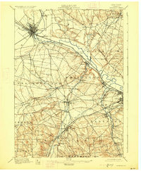
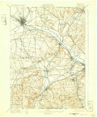
The Mohawk River valley serves as a bustling corridor of industrial and transport history in this 1890s survey. Central to the landscape is the intersection of major waterways and early railroads, with the Erie Canal and Black River Canal converging near Rome. This network supported a diverse manufacturing economy, evident in specialized industrial hamlets such as the Franklin Iron Works and Hecla Works, alongside smaller centers like Farmers Mills. The map also captures the Oriskany Battle Monument, marking the significant Revolutionary War site along the river.
Find a feature on this map
69 named features on this map. Tap any name to fly to it.
Don’t see what you’re looking for? This feature index may not catch every label — zoom into the map to look around manually.
Map Details
Editions of this 1898 Oriskany Map
10 editions found
Other maps of this area

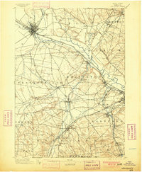
1895 · Oriskany
USGS Topo · 1:62,500

1895 · Oneida
USGS Topo · 1:62,500

1897 · Remsen
USGS Topo · 1:62,500

1898 · Oneida
USGS Topo · 1:62,500

1898 · Utica
USGS Topo · 1:62,500

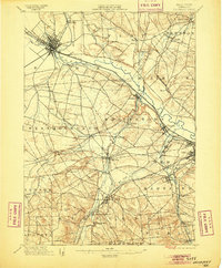
1898 · Oriskany
USGS Topo · 1:62,500

1900 · Utica
USGS Topo · 1:62,500

1900 · Remsen
USGS Topo · 1:62,500

1902 · Morrisville
USGS Topo · 1:62,500

1902 · Oneida
USGS Topo · 1:62,500