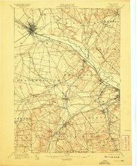
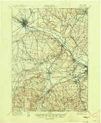
1898 Map of Oriskany
USGS Topo · Published 1908About this map
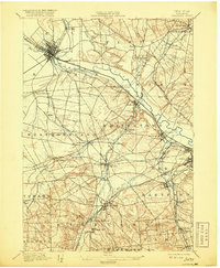
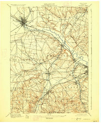
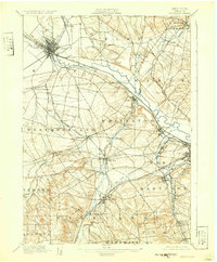
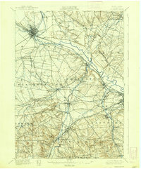
Rome and the surrounding Mohawk Valley are defined here by a dense concentration of nineteenth-century transportation and industrial infrastructure. The confluence of the Erie Canal and the Black River Canal at Rome illustrates the critical role of water-based commerce before the full dominance of the rail. The map records the heavy industrial footprint of the era, from the Franklin Iron Works and Hecla Works to the textile-related namesake of Clark Mills.
Find a feature on this map
68 named features on this map. Tap any name to fly to it.
Don’t see what you’re looking for? This feature index may not catch every label — zoom into the map to look around manually.
Map Details
Editions of this 1898 Oriskany Map
10 editions found
Other maps of this area

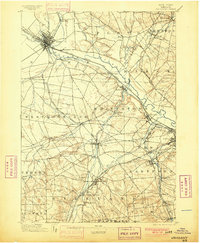
1895 · Oriskany
USGS Topo · 1:62,500

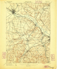
1895 · Oneida
USGS Topo · 1:62,500

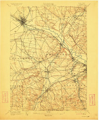
1897 · Remsen
USGS Topo · 1:62,500

1898 · Oneida
USGS Topo · 1:62,500

1898 · Utica
USGS Topo · 1:62,500

1898 · Oriskany
USGS Topo · 1:62,500

1900 · Utica
USGS Topo · 1:62,500

1900 · Remsen
USGS Topo · 1:62,500

1902 · Morrisville
USGS Topo · 1:62,500

1902 · Oneida
USGS Topo · 1:62,500