
1900 Map of Remsen
USGS Topo · Published 1900About this map
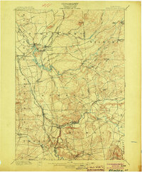
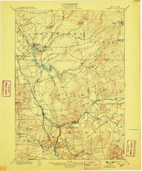
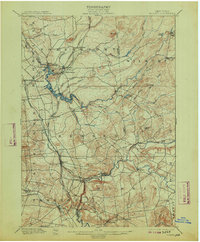
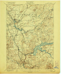
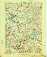
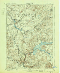
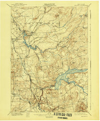
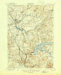
Remsen and the surrounding Oneida County landscape at the turn of the century are defined by an intricate network of early railroads and hydraulic engineering. The Black River Canal and its feeder system connect the Black River at Forestport, supporting a local economy tied to water power and transportation. Key rail lines, including the Adirondack Division and the Rome Watertown and Ogdensburg R. R., converge in this region, facilitating the movement of goods from industrial sites like Bardwell Mill and Reeds Mill. The topography transitions from the dramatic elevation of Starr Hill and Myers Hill down to the productive river valleys. Small settlements such as Hinckley, Prospect, and Trenton Falls highlight the community structure of the era, where proximity to rail sidings like Anos Siding and established watercourses was vital for both commerce and travel across the Oneida Co. Herkimer Co. border.
Find a feature on this map
60 named features on this map. Tap any name to fly to it.
Don’t see what you’re looking for? This feature index may not catch every label — zoom into the map to look around manually.
Map Details
Editions of this 1900 Remsen Map
9 editions found
Other maps of this area

1895 · Oriskany
USGS Topo · 1:62,500

1897 · Remsen
USGS Topo · 1:62,500

1898 · Utica
USGS Topo · 1:62,500

1898 · Oriskany
USGS Topo · 1:62,500

1900 · Little Falls
USGS Topo · 1:62,500

1900 · Utica
USGS Topo · 1:62,500

1900 · Wilmurt
USGS Topo · 1:62,500

1901 · Old Forge
USGS Topo · 1:62,500

1902 · Wilmurt
USGS Topo · 1:62,500

1903 · Little Falls
USGS Topo · 1:62,500