
1902 Map of Wilmurt
USGS Topo · Published 1902About this map
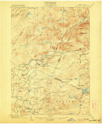
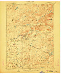
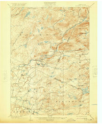
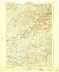
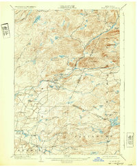
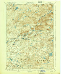
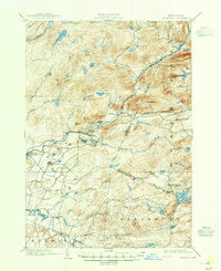
West Canada Creek carves a central path through this Adirondack landscape at the turn of the century, serving as a primary corridor for the small settlements of Wilmurt and Nobleboro. The geography is defined by a dense network of water bodies, from the Twin Lakes Reservoir in the north to the cluster of Hinckley Lake, Spectacle Lake, and Atwood Lake near the township center. This 1902 edition, based on a 1898 survey by W.H. Lovell and A.M. Walker, captures the area before modern development altered these headwaters. Significant elevations like Ft. Noble Mt. and Baldface Mt. dominate the eastern reaches, while the southern portion of the quadrangle shows the early road connections through Ohio and Gray. The map effectively illustrates the transition from the mountainous Hamilton and Herkimer County boundary line down toward the smaller hamlets like California.
Find a feature on this map
61 named features on this map. Tap any name to fly to it.
Don’t see what you’re looking for? This feature index may not catch every label — zoom into the map to look around manually.
Map Details
Editions of this 1902 Wilmurt Map
8 editions found
Other maps of this area

1897 · Remsen
USGS Topo · 1:62,500

1898 · Utica
USGS Topo · 1:62,500

1900 · Little Falls
USGS Topo · 1:62,500

1900 · Utica
USGS Topo · 1:62,500

1900 · Remsen
USGS Topo · 1:62,500

1900 · Canada Lake
USGS Topo · 1:62,500

1900 · Wilmurt
USGS Topo · 1:62,500

1901 · Old Forge
USGS Topo · 1:62,500

1901 · Lassellsville
USGS Topo · 1:62,500

1903 · West Canada Lakes
USGS Topo · 1:62,500