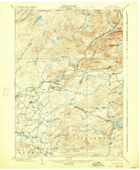
1902 Map of Wilmurt
USGS Topo · Published 1927About this map
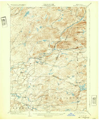
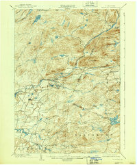
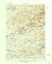
West Canada Creek and the Black River system dominate this Adirondack foothills landscape, where small 19th-century settlements like Wilmurt and Nobleboro serve as focal points for the surrounding timberlands. Surveyed in 1898, the map illustrates a network of brooks and remote lakes including Jerseyfield Lake, Loon Lake, and Mill Creek Lake that defined the early recreation and logging economy of the region. The terrain is marked by prominent elevations such as Ft. Noble Mt. and Baldface Mt., with the county boundary between Herkimer and Hamilton counties cutting through the heavy forest. The presence of the Hinckley Reservoir at the western edge and isolated hamlets like Morehouseville and California show the sparse but deliberate human footprint in these highlands before more modern development altered the waterway flows.
Find a feature on this map
64 named features on this map. Tap any name to fly to it.
Don’t see what you’re looking for? This feature index may not catch every label — zoom into the map to look around manually.
Map Details
Editions of this 1902 Wilmurt Map
8 editions found
Other maps of this area

1897 · Remsen
USGS Topo · 1:62,500

1898 · Utica
USGS Topo · 1:62,500

1900 · Little Falls
USGS Topo · 1:62,500

1900 · Utica
USGS Topo · 1:62,500

1900 · Remsen
USGS Topo · 1:62,500

1900 · Canada Lake
USGS Topo · 1:62,500

1900 · Wilmurt
USGS Topo · 1:62,500

1901 · Old Forge
USGS Topo · 1:62,500

1901 · Lassellsville
USGS Topo · 1:62,500

1902 · Wilmurt
USGS Topo · 1:62,500