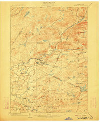
1902 Map of Wilmurt
USGS Topo · Published 1912About this map
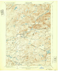
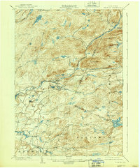
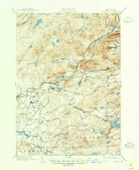
The Black River and its various branches dominate this late nineteenth-century landscape, carving through the dense network of water bodies and hills at the turn of the century. Small settlements such as Wilmurt and Nobleboro are positioned along the West Canada Creek, serving as focal points for the dispersed upland population. The topography is defined by significant elevations like Ft. Noble Mt. and Baldface Mt., while the southern reaches near Gray and Ohio show a transition toward more frequent road networks. A notable geographic feature is the prominence of vlys and flys, such as Wilder Fly and Hall Vly, indicating the marshy bottomlands common to this region. For the researcher, the map preserves the exact alignment of early county lines and boundaries between townships like Salisbury and Norway, alongside numerous secluded ponds like Tom Kettle Lake and Spectacle Lake.
Find a feature on this map
58 named features on this map. Tap any name to fly to it.
Don’t see what you’re looking for? This feature index may not catch every label — zoom into the map to look around manually.
Map Details
Editions of this 1902 Wilmurt Map
8 editions found
Other maps of this area

1897 · Remsen
USGS Topo · 1:62,500

1898 · Utica
USGS Topo · 1:62,500

1900 · Little Falls
USGS Topo · 1:62,500

1900 · Utica
USGS Topo · 1:62,500

1900 · Remsen
USGS Topo · 1:62,500

1900 · Canada Lake
USGS Topo · 1:62,500

1900 · Wilmurt
USGS Topo · 1:62,500

1901 · Old Forge
USGS Topo · 1:62,500

1901 · Lassellsville
USGS Topo · 1:62,500

1902 · Wilmurt
USGS Topo · 1:62,500