
1900 Map of Utica
USGS Topo · Published 1900About this map
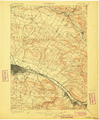
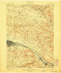
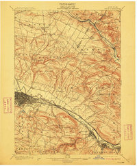
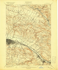
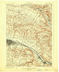
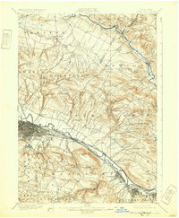
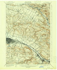
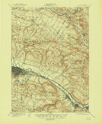
The Mohawk River valley serves as a critical industrial corridor in this late 19th-century survey, dominated by the dense urban grid of Utica. The landscape reflects the immense transport infrastructure of the era, with the Erie Canal running parallel to the New York Central and Hudson River R. R. and the West Shore R. R.. These arteries fueled the growth of manufacturing hubs like Frankfort and Ilion to the southeast. Away from the river, the terrain rises into the hills of Deerfield and Schuyler, where a network of family-named crossroads such as Martin Corners and Barker Corners defines the rural settlement pattern. To the north, the winding West Canada Creek passes through the villages of Poland and Newport, illustrating the importance of smaller waterways for local power and community placement before the widespread electrification of the Mohawk Valley.
Find a feature on this map
62 named features on this map. Tap any name to fly to it.
Don’t see what you’re looking for? This feature index may not catch every label — zoom into the map to look around manually.
Map Details
Editions of this 1900 Utica Map
9 editions found
Other maps of this area

1895 · Oriskany
USGS Topo · 1:62,500

1897 · Remsen
USGS Topo · 1:62,500

1898 · Utica
USGS Topo · 1:62,500

1898 · Oriskany
USGS Topo · 1:62,500

1900 · Little Falls
USGS Topo · 1:62,500

1900 · Remsen
USGS Topo · 1:62,500

1900 · Wilmurt
USGS Topo · 1:62,500

1902 · Wilmurt
USGS Topo · 1:62,500

1903 · Richfield Springs
USGS Topo · 1:62,500

1903 · Little Falls
USGS Topo · 1:62,500