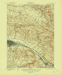
1900 Map of Utica
USGS Topo · Published 1947About this map
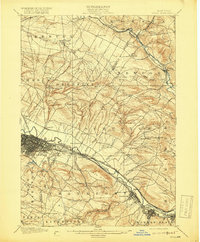
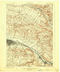
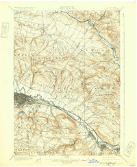
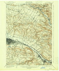
The Mohawk River valley serves as a critical industrial corridor on this 1896 survey, where the Erie Canal and West Shore R.R. run in parallel through the heart of the region. The city of Utica dominates the western edge, showing a dense street grid and rail infrastructure that fueled its growth as a manufacturing hub. To the east, the industrial settlements of Frankfort and Ilion cling to the riverbanks, framed by the steep rise of Dutch Hill and Frankfort Hill.
Find a feature on this map
69 named features on this map. Tap any name to fly to it.
Don’t see what you’re looking for? This feature index may not catch every label — zoom into the map to look around manually.
Map Details
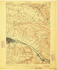
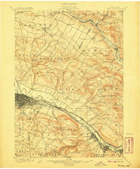
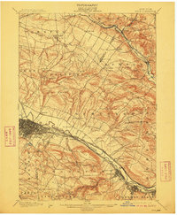
Editions of this 1900 Utica Map
9 editions found
Other maps of this area

1895 · Oriskany
USGS Topo · 1:62,500

1897 · Remsen
USGS Topo · 1:62,500

1898 · Utica
USGS Topo · 1:62,500

1898 · Oriskany
USGS Topo · 1:62,500

1900 · Little Falls
USGS Topo · 1:62,500

1900 · Utica
USGS Topo · 1:62,500

1900 · Remsen
USGS Topo · 1:62,500

1900 · Wilmurt
USGS Topo · 1:62,500

1902 · Wilmurt
USGS Topo · 1:62,500

1903 · Richfield Springs
USGS Topo · 1:62,500