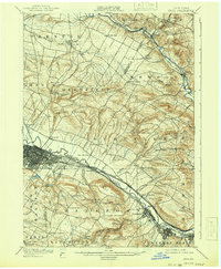
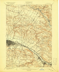
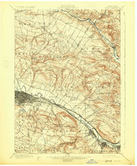
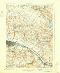
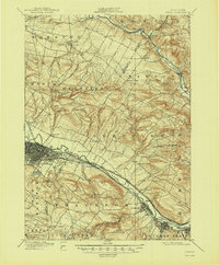
1900 Map of Utica
USGS Topo · Published 1941About this map
The industrial corridor of the Mohawk Valley is captured here in detail, centered on the dense urban grid of Utica where the Erie Canal and multiple rail lines converge. This landscape reflects a late-19th-century economy built on the water and rail networks of the Mohawk River, with several manufacturing centers like Frankfort and Ilion hugging the southern banks. Beyond the river valley, the terrain rises sharply toward the Adirondacks, punctuated by family-named heights such as Marcy Hill, Bell Hill, and Hasenclever Hill.
Find a feature on this map
66 named features on this map. Tap any name to fly to it.
Don’t see what you’re looking for? This feature index may not catch every label — zoom into the map to look around manually.
Map Details
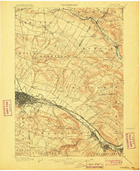
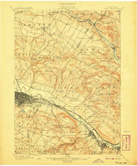
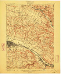
Editions of this 1900 Utica Map
9 editions found
Other maps of this area

1895 · Oriskany
USGS Topo · 1:62,500

1897 · Remsen
USGS Topo · 1:62,500

1898 · Utica
USGS Topo · 1:62,500

1898 · Oriskany
USGS Topo · 1:62,500

1900 · Little Falls
USGS Topo · 1:62,500

1900 · Utica
USGS Topo · 1:62,500

1900 · Remsen
USGS Topo · 1:62,500

1900 · Wilmurt
USGS Topo · 1:62,500

1902 · Wilmurt
USGS Topo · 1:62,500

1903 · Richfield Springs
USGS Topo · 1:62,500